Categorieën
Veilig online betalen
Betaal veilig via uw eigen bankomgeving
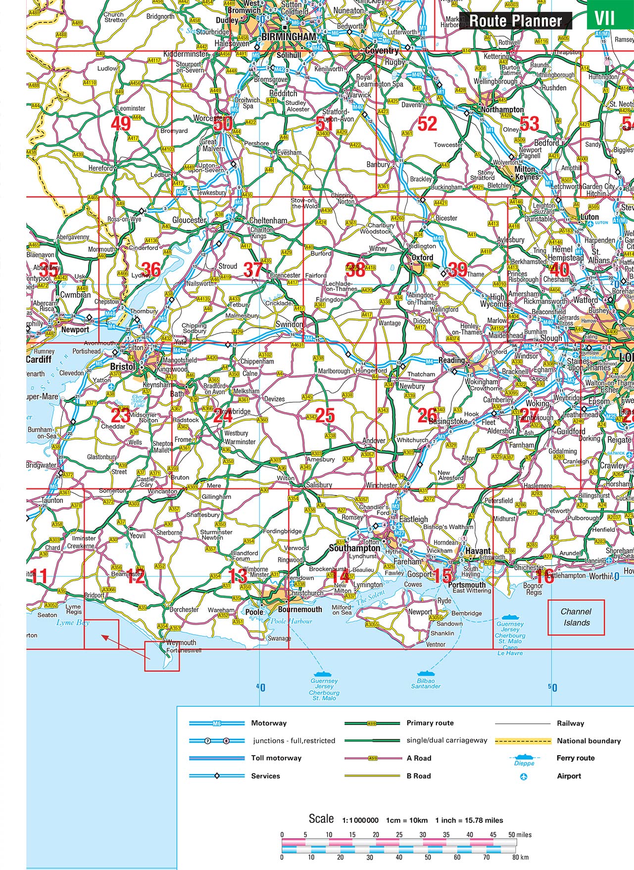
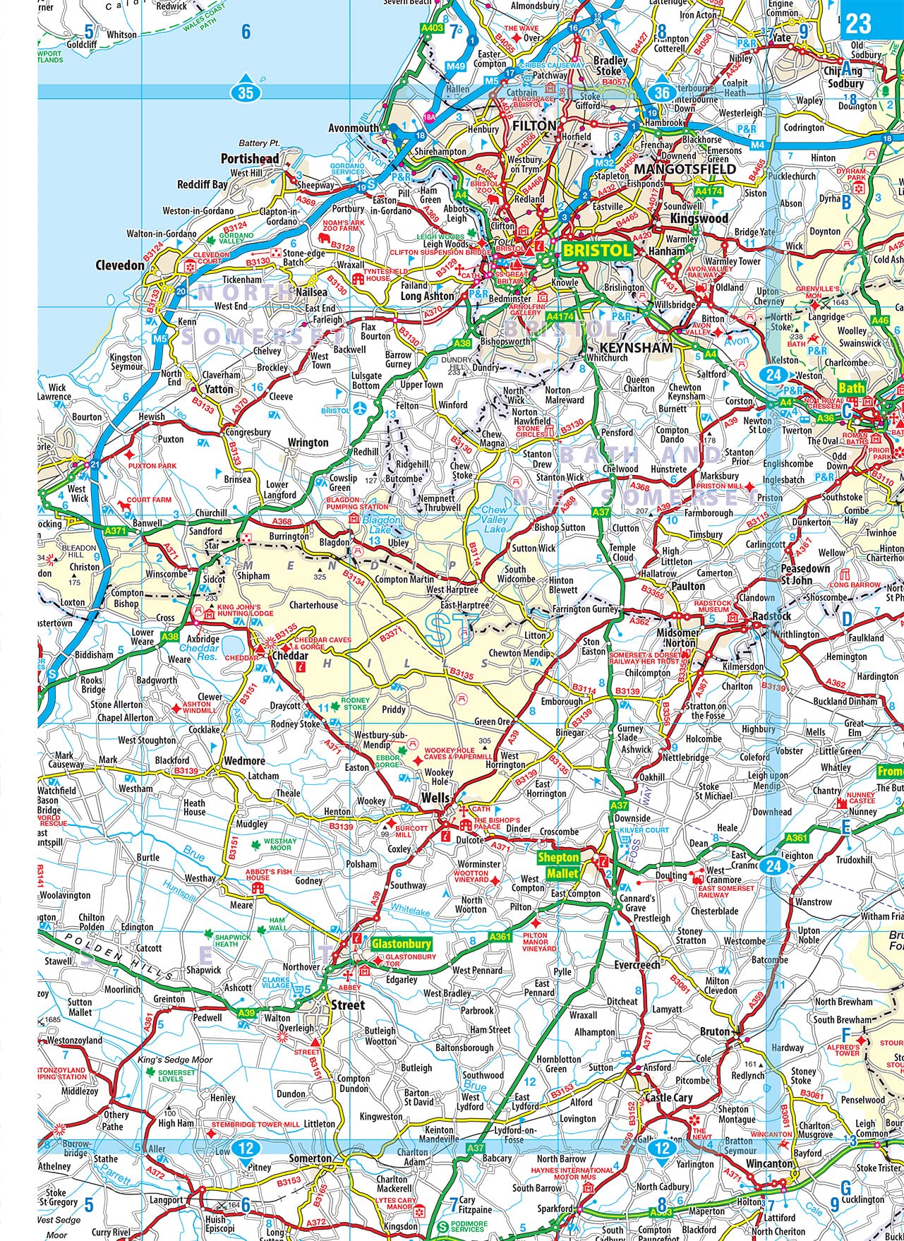
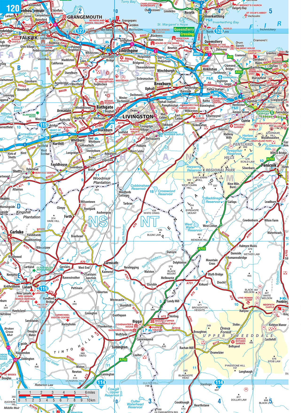
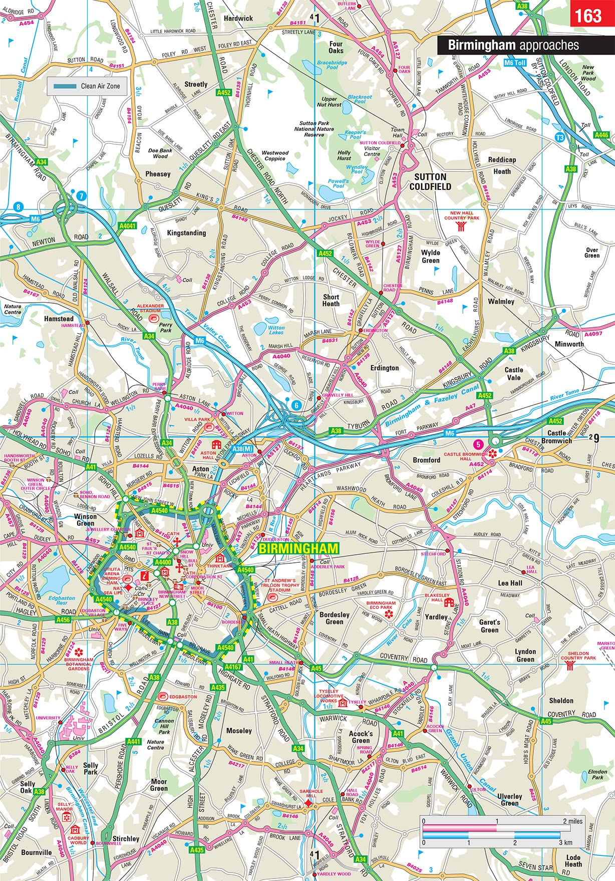
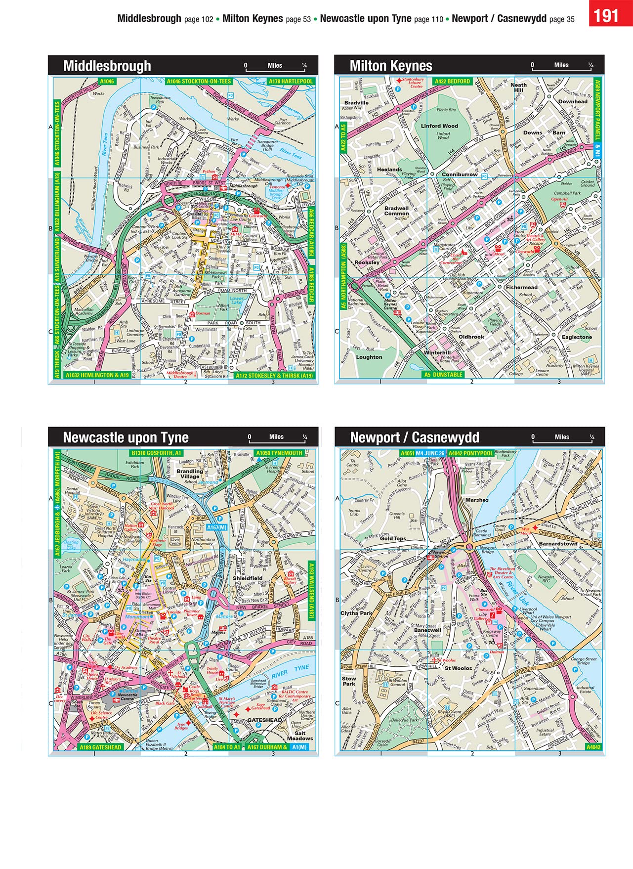
Wegenatlas Road Atlas Britain and Ireland 2024 | Philip's Maps (9781849076241)
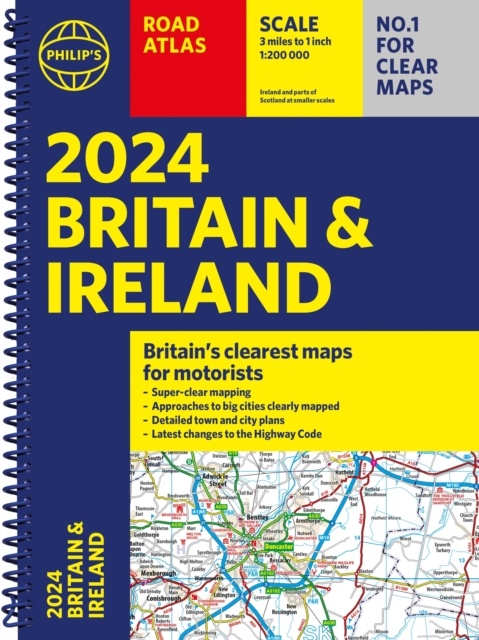
- ISBN / CODE: 9781849076241
- Editie: 2024
- Aantal blz.: 256
- Schaal: 1:200000
- Auteur(s): Philip's Maps
- Uitgever: Philip's Maps
- Soort: Wegenatlas
- Taal: Engels
- Hoogte: 29.8 cm
- Breedte: 21.8 cm
- Dikte: 1.5 cm
- Uitvoering: -
- Bindwijze: Paperback
- Beoordeling: 5,0 ★★★★★ (1 review) Schrijf een review
-
€ 23,95
Op voorraad. Voor 17.00 uur op werkdagen besteld, morgen in huis in Nederland Levertijd Belgie
Gratis verzending in Nederland vanaf €35,-
Beschrijving
Reviews
De enige GB atlas die aangeeft of wegen onder de twee meter breed zijn. Als Nederlander in Engeland essentieel. Plots ging de vakantie niet door, maar dan heb ik hem alvast voor volgend jaar
★★★★★ door Bas Kapitein 21 september 2023 | Heeft dit artikel gekochtVond u dit een nuttige review? (login om te beoordelen)
Schrijf een review
Graag horen wij wat u van dit artikel vindt. Vindt u het goed, leuk, mooi, slecht, lelijk, onbruikbaar of erg handig: schrijf gerust alles op! Het is niet alleen leuk om te doen maar u informeert andere klanten er ook nog mee!
Ook interessant voor europa/engeland
-

Campinggids Almost Wild Camping | Pu
€ 16,95Campinggidsen Engeland -

Wandelgids Pilgrim Pathways | Trailb
€ 21,95Wandelgidsen Engeland -

Reisverhaal London2Edinburgh | Demps
€ 24,67Reisverhalen Engeland -

Wegenatlas Big Easy Read Britain 202
€ 23,95Wegenatlassen Engeland -

Reisgids Capitool Reisgidsen Groot B
€ 39,99Reisgidsen Engeland