Categorieën
Veilig online betalen
Betaal veilig via uw eigen bankomgeving
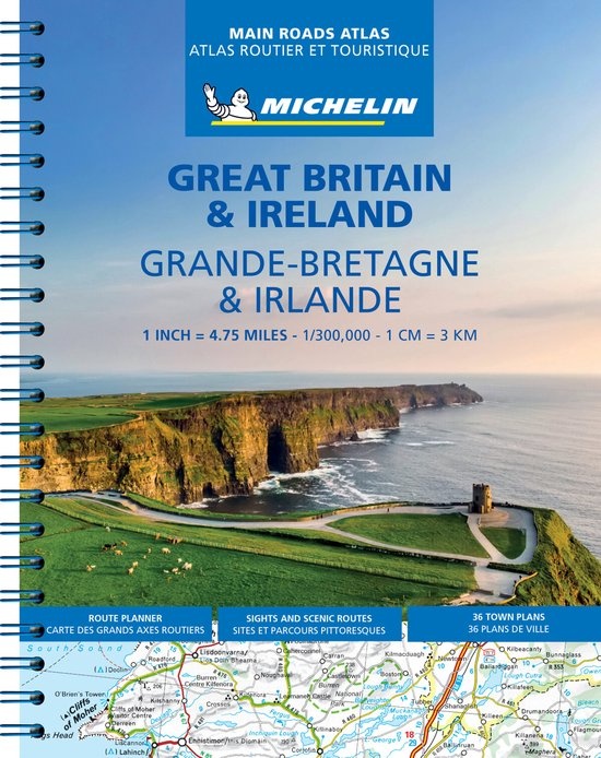
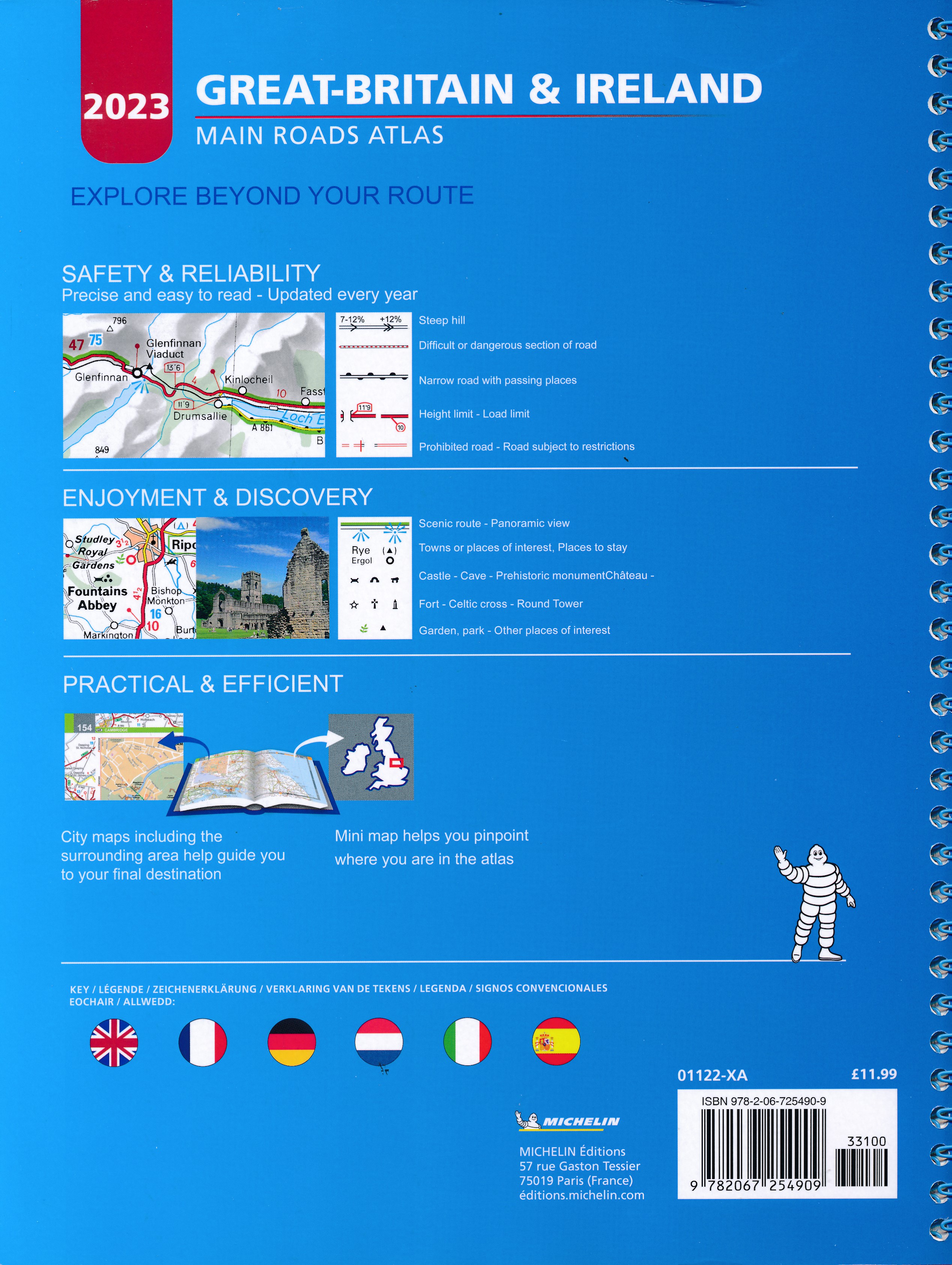
Wegenatlas Great Britain and Ireland 2024 - Main Roads Atlas (A4-Spiral) | Michelin (9782067235861)
- ISBN / CODE: 9782067235861
- Editie: 2024
- Aantal blz.: 190
- Schaal: 1:300000
- Auteur(s): Michelin
- Uitgever: Michelin
- Soort: Wegenatlas
- Taal: Engels
- Hoogte: 28.8 cm
- Breedte: 22.2 cm
- Dikte: 1.4 cm
- Bindwijze: RIngband
- Uitvoering: -
- Beoordeling: 5,0 ★★★★★ (1 review) Schrijf een review
-
€ 19,95
Op voorraad. Voor 17.00 uur op werkdagen besteld, morgen in huis in Nederland Levertijd Belgie
Gratis verzending in Nederland vanaf €35,-
Beschrijving
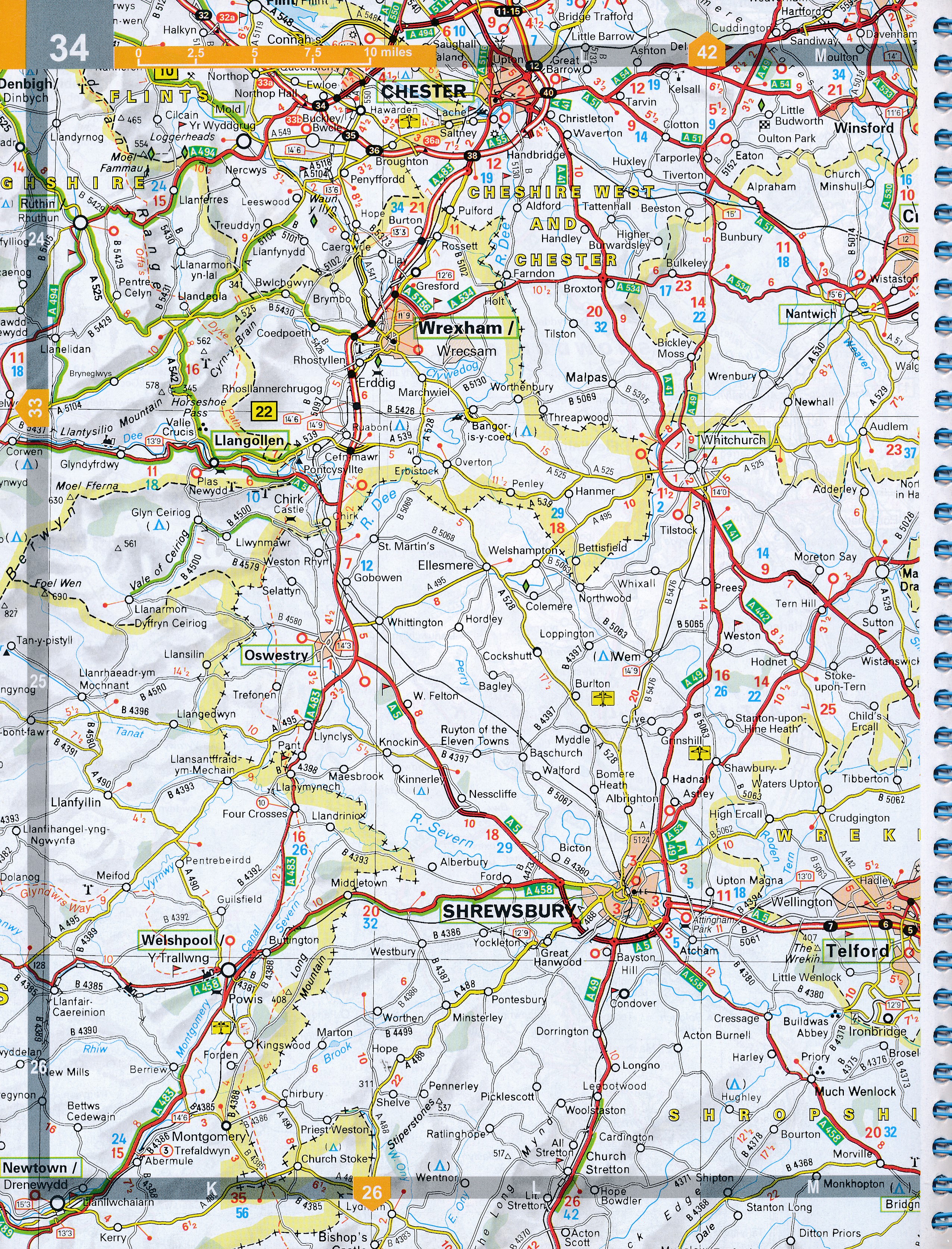
Full of practical features, the Michelin Great Britain & Ireland 2024 - Main Roads Atlas (A4-Spiral) is the perfect companion for your everyday journey and holiday planning. Updated every year, it gives you clear and accurate information for a safe and enjoyable journey thanks to a detailed mapping scale of 1/300 000. The route planner as well as the time and distance charts will help you plan and optimise your journey.
Michelin's safety alerts warn you about dangerous driving areas, such as steep hills, level crossing as well as risk zone subject to tighter speed check. The Great Britain & Ireland 2024 - Main Roads Atlas (A4-Spiral) also shows tourist sights, leisure facilities, as well as scenic routes so that you can make the most of your journey.
The Michelin Great Britain & Ireland 2024 - Main Roads Atlas (A4-Spiral) features:
- Detailed mapping with a scale 1/300 000 (4.75 miles to 1 inch)
- Mileage chart and journey times to help you plan your journey
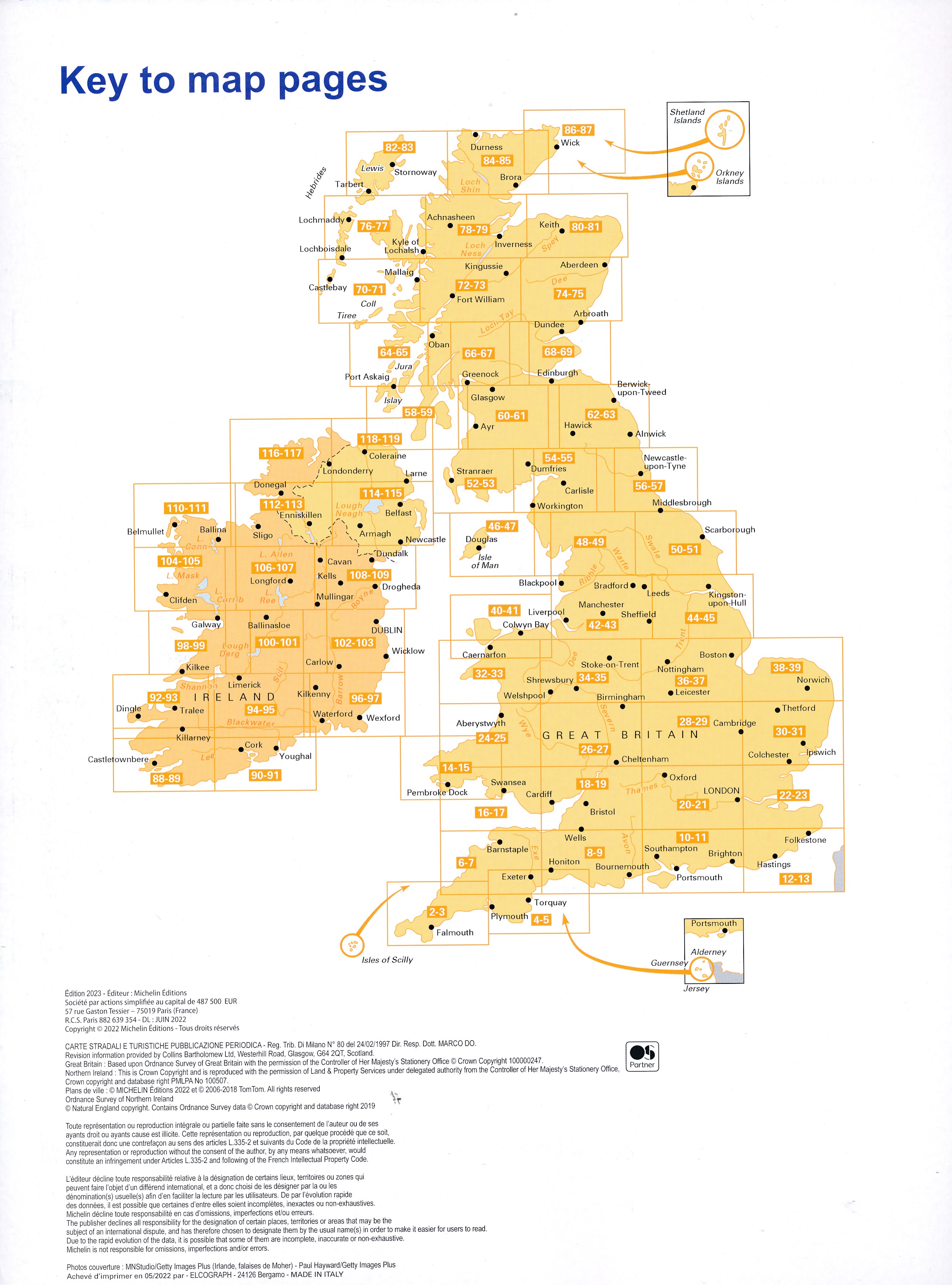
- Key to Map Pages to quickly access your region of interest
- Practical street plan section for an easy navigation in urban areas: 52 town plans embedded in the mapping of their surrounding area.
- Easier navigation thanks to the location map featured on top of each page.
- An extensive place name index to easily identify the destination of your choice
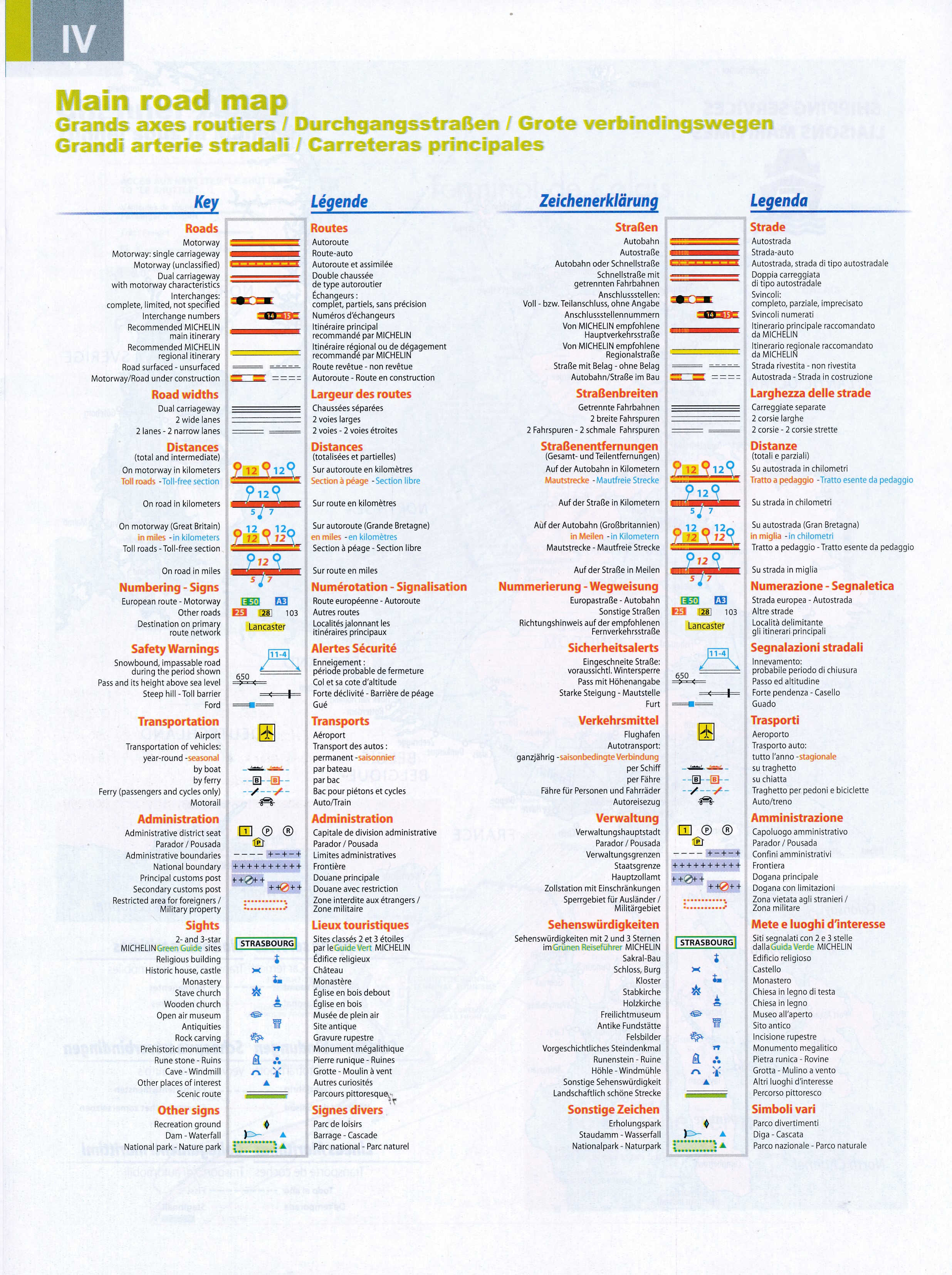
- Comprehensive and detailed key to symbols used
- Fuel station and service areas
- Tourist information with place of interest and leisure facilities, as well as scenic routes, cross-referenced with the famous Michelin Green Guides, with towns underlined in green
Reviews
Fijn formaat en goed bruikbaar in de auto. Al jaren favoriet voor ons tijdens de vakanties. Geen gedoe met gevouwen kaarten.
★★★★★ door Jan Willem ter Molen 16 februari 2023Vond u dit een nuttige review? (login om te beoordelen)
Schrijf een review
Graag horen wij wat u van dit artikel vindt. Vindt u het goed, leuk, mooi, slecht, lelijk, onbruikbaar of erg handig: schrijf gerust alles op! Het is niet alleen leuk om te doen maar u informeert andere klanten er ook nog mee!
Ook interessant voor europa/engeland
-

Reisgids I love the seaside Great Br
€ 34,95Reisgidsen Wales -

Reisverhaal The Sea Kingdoms – The h
€ 14,95Reisverhalen Engeland -

Campinggids Camping by the Waterside
€ 20,95Campinggidsen Engeland -

Wandelgids Great Britain & Ireland |
€ 27,95Wandelgidsen Engeland -

Fietsgids Bikeline Eurovelo 1 - Atla
€ 18,95Fietsgidsen Engeland