Categorieën
Veilig online betalen
Betaal veilig via uw eigen bankomgeving
Wegenatlas Big Road Atlas Britain and Northern Ireland 2025 | A3 | Ringband | Collins (9780008652883)
Engeland - Schotland
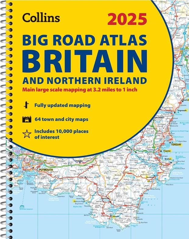
- ISBN / CODE: 9780008652883
- Editie: 2024
- Aantal blz.: 176
- Schaal: 1:200000
- Auteur(s): HarperCollins Publishers
- Uitgever: Collins
- Soort: Wegenatlas
- Taal: Engels
- Hoogte: 38.5 cm
- Breedte: 30.4 cm
- Dikte: 1.5 cm
- Uitvoering: -
- Bindwijze: RIngband
- Schrijf als eerste een review
-
€ 20,95
Op voorraad. Voor 17.00 uur op werkdagen besteld, morgen in huis in Nederland Levertijd Belgie
Gratis verzending in Nederland vanaf €35,-
Beschrijving
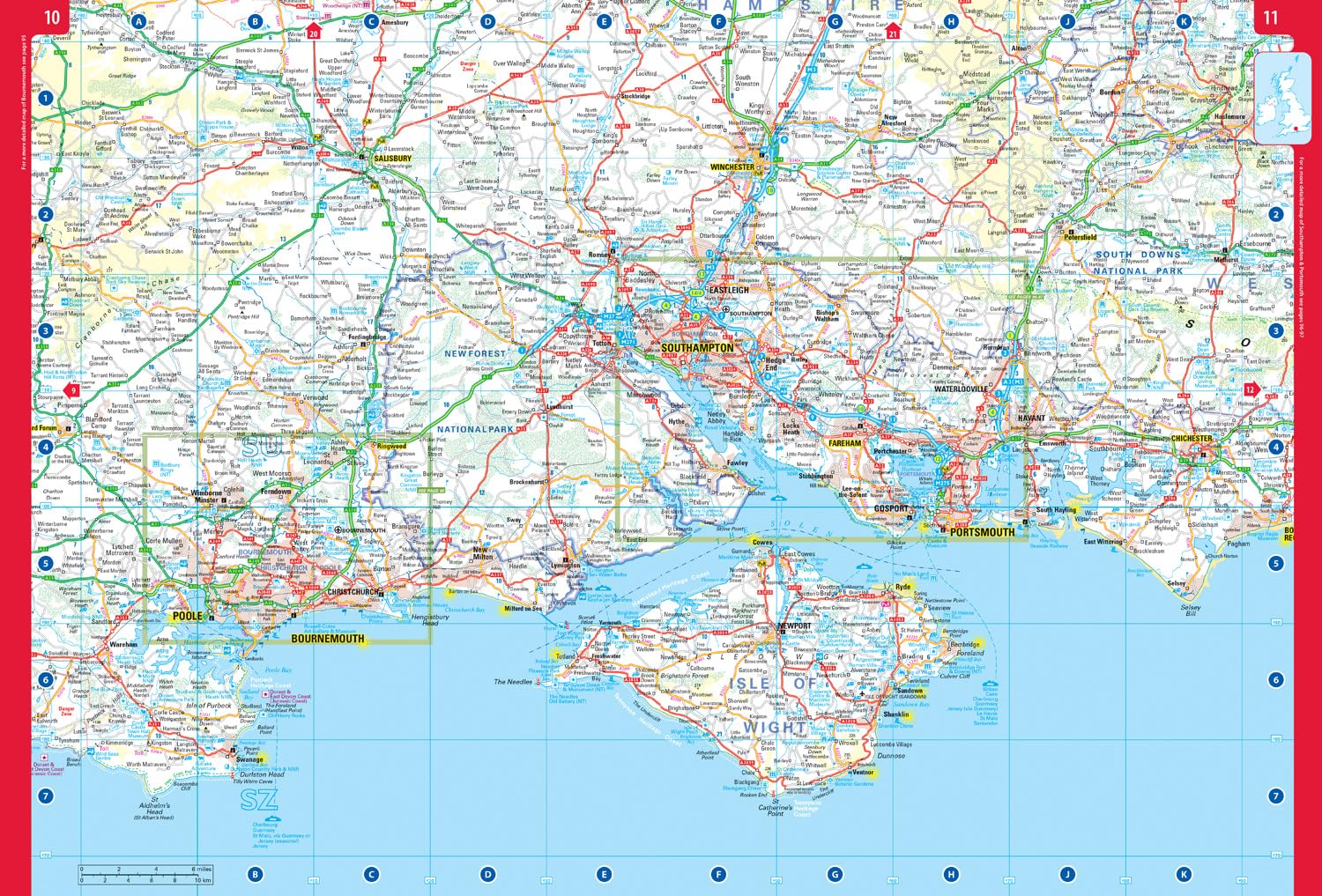
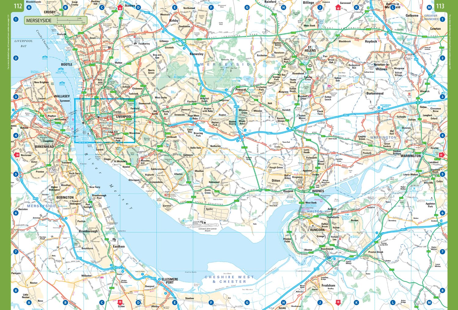
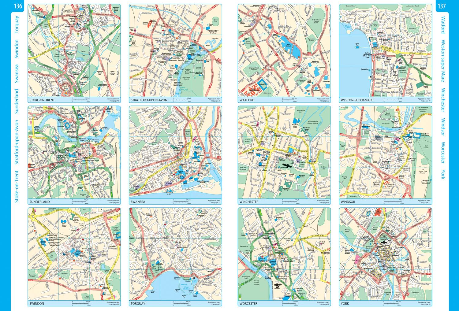
Grote wegenatlas, a3-formaat in ringband.
Reviews
Geen reviews gevonden voor dit product.
Schrijf een review
Graag horen wij wat u van dit artikel vindt. Vindt u het goed, leuk, mooi, slecht, lelijk, onbruikbaar of erg handig: schrijf gerust alles op! Het is niet alleen leuk om te doen maar u informeert andere klanten er ook nog mee!
Ook interessant voor europa/ierland/noordierland
-

Wandkaart Classic Verenigd Koninkrij
€ 27,95Wandkaarten van landen Engeland -

Topografische kaart - Wandelkaart 21
€ 19,50Topografische kaarten Noord Ierland -

Reisverhaal The Rule of the Land | F
€ 14,50Reisverhalen Noord Ierland -

Wegenkaart - landkaart Roman Britain
€ 12,95Wegenkaarten Engeland -

Wegenatlas Essential Road Atlas Brit
€ 20,95Wegenatlassen Engeland