Castilla-La Mancha
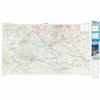 Wegenkaart - landkaart Mapa Provincial Toledo | CNIG - Instituto Geográfico Nacional
Deze kaart is zuiver gericht op de provincie als in de titel. Gebieden naast de kaart worden zonder kleur weergegeven. Ideale kaart als het gaat om het onderscheid in topografische …
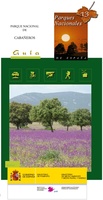 Wandelkaart 13 Parques Nacionales Cabaneros Nationaal Park | CNIG - Instituto Geográfico Nacional
Topografische kaart 1:25.000 met ingetekende wandelroutes en begeleidend gidsje (spaanstalig) van het Cabaneros National Park in de provincies Ciudad Real en Toledo Parque Nacional de Cabañeros - El Medio natural …
 Wegenkaart - landkaart Madrid & Castile/La Mancha | ITMB
ITMB is pleased to introduce this new map, using our own artwork, for Madrid, covering essentially all the area within the circular ring road motorway. All the streets are named …
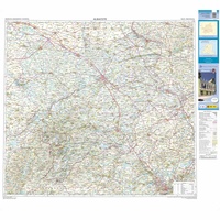 Wegenkaart - landkaart Mapa Provincial Albacete | CNIG - Instituto Geográfico Nacional
Deze kaart is zuiver gericht op de provincie als in de titel. Gebieden naast de kaart worden zonder kleur weergegeven. Ideale kaart als het gaat om het onderscheid in topografische …
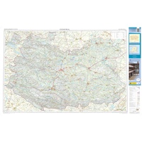 Wegenkaart - landkaart Mapa Provincial Ciudad Real | CNIG - Instituto Geográfico Nacional
Deze kaart is zuiver gericht op de provincie als in de titel. Gebieden naast de kaart worden zonder kleur weergegeven. Ideale kaart als het gaat om het onderscheid in topografische …
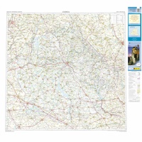 Wegenkaart - landkaart Mapa Provincial Cuenca | CNIG - Instituto Geográfico Nacional
Deze kaart is zuiver gericht op de provincie als in de titel. Gebieden naast de kaart worden zonder kleur weergegeven. Ideale kaart als het gaat om het onderscheid in topografische …
★★★★★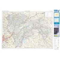 Wegenkaart - landkaart Mapa Provincial Guadalajara | CNIG - Instituto Geográfico Nacional
Deze kaart is zuiver gericht op de provincie als in de titel. Gebieden naast de kaart worden zonder kleur weergegeven. Ideale kaart als het gaat om het onderscheid in topografische …
★★★★★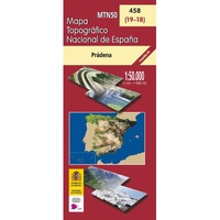 Topografische kaart 458 MT50 Prádena | CNIG - Instituto Geográfico Nacional
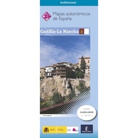 Wegenkaart - landkaart Castilla-La Mancha | CNIG - Instituto Geográfico Nacional
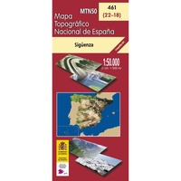 Topografische kaart 461 MT50 Sigüenza | CNIG - Instituto Geográfico Nacional
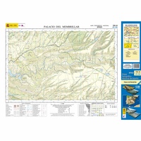 Topografische kaart 709-III Palacio del Membrillar | CNIG - Instituto Geográfico Nacional1
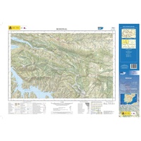 Topografische kaart 734-I Bohonal | CNIG - Instituto Geográfico Nacional1
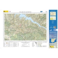 Topografische kaart 734-III Villarta de los Montes | CNIG - Instituto Geográfico Nacional1
 Topografische kaart 712-I Estación de Urda Peleches | CNIG - Instituto Geográfico Nacional1
 Topografische kaart 712-II Madridejos | CNIG - Instituto Geográfico Nacional1
 Topografische kaart 712-III Urda | CNIG - Instituto Geográfico Nacional1
 Topografische kaart 712-IV Sierra del Reventón | CNIG - Instituto Geográfico Nacional1
 Topografische kaart 737-I Sierra de la Calderina | CNIG - Instituto Geográfico Nacional1
 Topografische kaart 737-II Las Labores | CNIG - Instituto Geográfico Nacional1
 Topografische kaart 737-III Fuente del Fresno | CNIG - Instituto Geográfico Nacional1
Laatste reviews

De landkaart voldoet geheel aan mijn wensen. Ik zocht en zo klein mogelijke schaal, om onze routes te plannen. Helaas is de eerste bestelling verdwenen …
★★★★★ door Albert Huizing 04 januari 2025 | Heeft dit artikel gekocht
Prachtige foto’s die herkenbaar zijn na een bezoek aan Suriname. Interessante achtergrond informatie. Jammer dat het boek niet meer gedrukt wordt. Snel verstuurd!
★★★★★ door Neeltje 03 januari 2025 | Heeft dit artikel gekocht
Ik kocht dit boek voor pakjesavond voor mijn zwager en schoonzus, die het heerlijk vinden om regelmatig samen te wandelen, ergens in Nederland. Ook houden …
★★★★★ door Cindy de Lange-Wirds 03 januari 2025 | Heeft dit artikel gekocht
O.a. en kaart van Curaçao besteld. Prachtig van kwaliteit maar wel wat jammer dat de uitvoering wat gedateerd is. Reisgids is prima, evenals het fietsboekje …
★★★★★ door Henk van den Born 03 januari 2025 | Heeft dit artikel gekocht


