Categorieën
Veilig online betalen
Betaal veilig via uw eigen bankomgeving
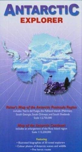
Wegenkaart - landkaart Antarctic Explorer | Ocean Explorer Maps (9780954371760)
Visitor's Map of the Antarctic Peninsula Region and map of the Antarctic Continent
- ISBN / CODE: 9780954371760
- Editie: 2009
- Schaal: 1:2750000
- Auteur(s): Nigel Sitwell
- Uitgever: Ocean Explorer Maps
- Soort: Wegenkaart
- Taal: Engels
- Hoogte: 23.0 cm
- Breedte: 12.5 cm
- Dikte: 0.7 cm
- Gewicht: 78.0 g
- Uitvoering: Papier
- Bindwijze: -
- Schrijf als eerste een review
-
€ 13,95
Op voorraad. Voor 17.00 uur op werkdagen besteld, morgen in huis in Nederland Levertijd Belgie
Gratis verzending in Nederland vanaf €35,-
Beschrijving
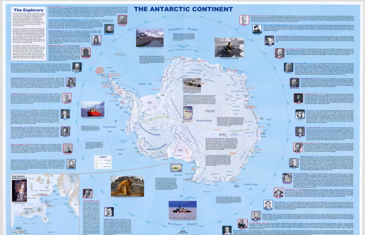
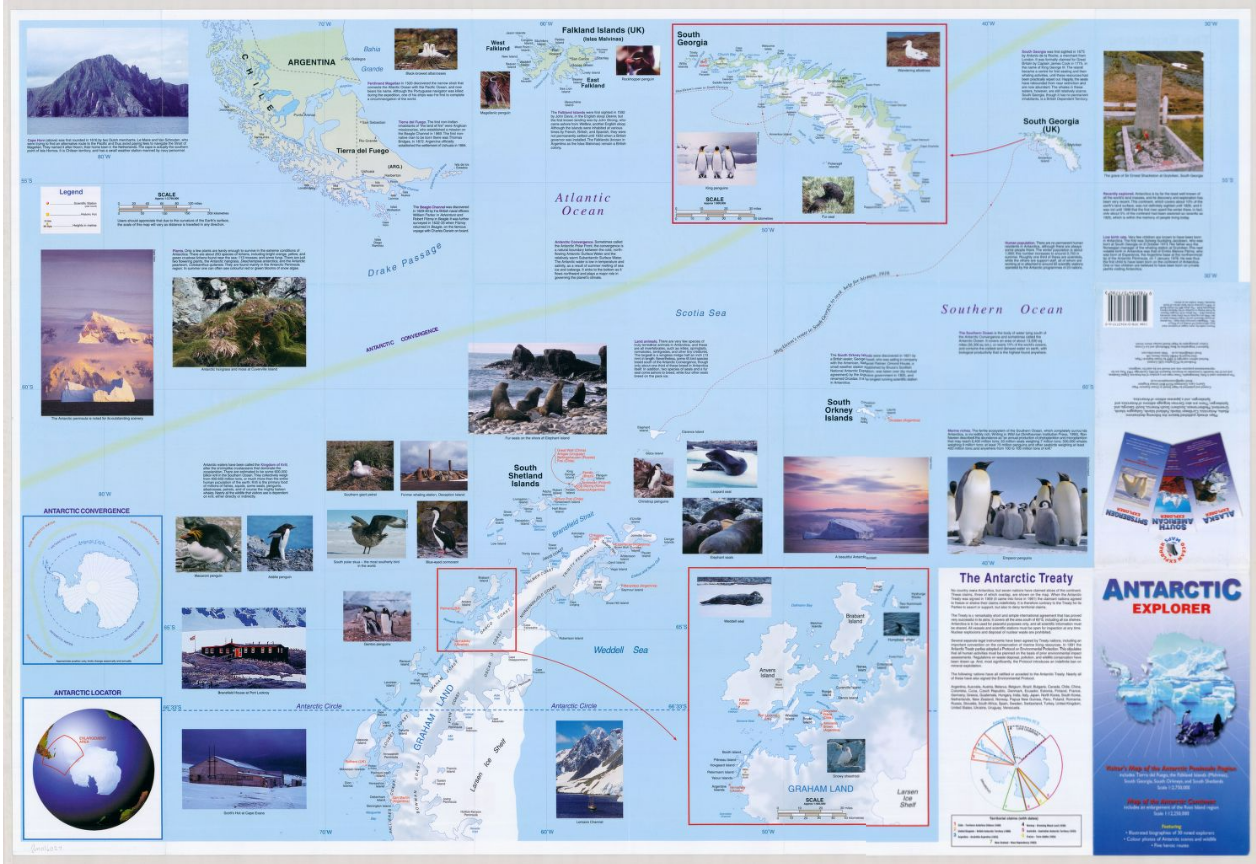
An excellent foldout map of Antarctica. On one side there is a map of the Antarctic continent, around which succinct biographies of Antarctic explorers from William Spiers Bruce to Edward Wilson are shown. On the other side there are many fine colour photographs of seals, penguins and other Antarctic wildlife, together with an inset box summarising the Antarctic Treaty and other information on Antarctic waters, Cape Horn, Tierra del Fuego, the Beagle Channel, the Falkland Islands and South Georgia. Aimed at visitors arriving by sea.
Reviews
Geen reviews gevonden voor dit product.
Schrijf een review
Graag horen wij wat u van dit artikel vindt. Vindt u het goed, leuk, mooi, slecht, lelijk, onbruikbaar of erg handig: schrijf gerust alles op! Het is niet alleen leuk om te doen maar u informeert andere klanten er ook nog mee!
Ook interessant voor oceanie/antarctica
-

Atlas Antarctic Atlas | Particular B
€ 47,50Atlassen Antarctica -

Fotoboek Antarctica | Amber Books
€ 27,95Fotoboeken Antarctica -

Reisgids Wildernis, woongebied en wi
€ 17,50Reisgidsen Spitsbergen - Svalbard -

Natuurgids A Complete Guide to Antar
€ 61,95Natuurgidsen Antarctica -

Reisverhaal Antarctica - De Belgen o
€ 24,95Reisverhalen Antarctica