Categorieën
Veilig online betalen
Betaal veilig via uw eigen bankomgeving
Kaarten
De beste wegenkaarten, routekaarten, fiets- of wandelkaarten en topografische kaarten vindt u hier!
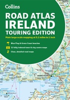 Wegenatlas Road Atlas Ireland | Collins
Explore Ireland with this accurate and fully updated road atlas. This road atlas is at A4 size, covering the whole of Ireland and features clear and detailed Collins colour mapping …
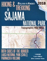 Topografische kaart - Atlas Hiking and Trekking in Sajama National Park Bolivia Chili Andes | Mazitto
Updated 2018 edition. Detailed topographic map 1:50.000 & 20 meter contours for hiking and trekking, printed as an atlas book (with overlapping pages). Covers the full area of the Sajama …
 Wegenkaart - landkaart Reise Know-How Landkarte Südfrankreich / Southern France | Reise Know-How Verlag
Hochreißfeste und 100% wasserfeste Landkarte 'Südfrankreich' aus der Serie world mapping project. Reise Know-How Landkarten zeichnen sich durch besonders stabiles Kunststoffpapier aus, das beschreibbar ist wie Papier, sogar mit …
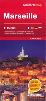 Stadsplattegrond Marseille | ExpressMap
La basilique Notre-Dame-de-la-Garde richement décorée, le port historique et l'abbaye Saint-Victor sont que quelques-unes des nombreuses attractions qu'offre la ville de Marseille. Laminée et facile à plier, la carte de …
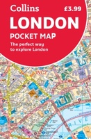 Stadsplattegrond Pocket Map London Pocket Map | HarperCollins
Handy little full colour map of central London with a high level of detail. Clear mapping from Regent's Park in the north to Kennington in the south, and Kensington Gardens …
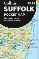 Wegenkaart - landkaart Pocket Map Suffolk | Collins
Explore new places with handy pocket maps from Collins. Handy little full-colour map of county of Suffolk. Detailed mapping, photographs, and tourist information. Famed for its archaeological finds, swathes …
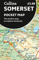 Wegenkaart - landkaart Pocket Map Somerset | Collins
Explore new places with handy pocket maps from Collins. Handy little full-colour map of county of Somerset. Detailed mapping, photographs and tourist information. Famed for its cheddar cheese, cider, …
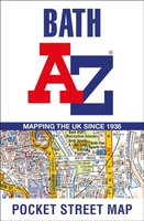 Stadsplattegrond Pocket Street Map Bath | A-Z Map Company
This up-to-date detailed A-Z street map includes more than 1,700 streets in and around Bath. This street map includes the following: Postcode districts, one-way streets and car parks Tourist attractions …
 Wegenkaart - landkaart Visitors map Devon | A-Z Map Company
Explore the whole county of Devon extending from Taunton to Plymouth. With detailed road mapping and illustrated town plans of major cities, this feature-rich, helpful tourist guide is ideal for …
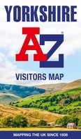 Wegenkaart - landkaart Visitors map Yorkshire | A-Z Map Company
Explore the whole region of Yorkshire extending from Sheffield to Darlington. With detailed road mapping and illustrated town plans of major cities, this feature rich, helpful tourist guide is ideal …
 Wegenkaart - landkaart Visitors map Scotland - Schotland | A-Z Map Company
xplore the whole of Scotland from Dumfries and Galloway in the South to the Orkney Islands in the North. With detailed road mapping and illustrated town plans of major cities, …
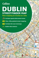 Stadsplattegrond Streetfinder Dublin | Collins
Explore the city of Dublin with this detailed, fully updated colour map. Street by street map covering central Dublin and the surrounding area. The map, at a scale of 4 …
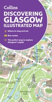 Stadsplattegrond Glasgow Illustrated Map | Collins
Explore new places with dependable maps from Collins. As the largest city in Scotland, Glasgow is a vibrant and bustling hub, enjoyed by thousands of visitors each year. This updated …
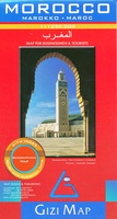 Wegenkaart - landkaart Morocco - Marokko | Gizi Map
A detailed general map with relief depicted by vivid elevation tinting. The map is indexed and selected location names are written in Arabic as well as standard roman. Terrain features …
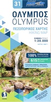 Wandelkaart 31 Olympus hiking map | Road Editions
Altijd al eens de Olympus, de hoogste berg van Griekenland, willen beklimmen? Dan is dit de juiste kaart. Op een schaal van 1:20.000 staan alle details goed ingetekend: gemarkeerde routes, …
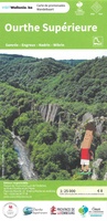 Wandelkaart 210 Ourthe Superieure | NGI - Nationaal Geografisch Instituut
Bij de stuwdam van Nisramont vloeien de Westelijke Ourthe en de Oostelijke Ourthe samen en vormen zo de Ourthe. Tussen Houffalize en La Roche-en-Ardenne slingert de Boven-Ourthe zich door diepe …
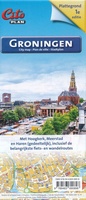 Stadsplattegrond Citoplan Groningen | Buijten & Schipperheijn
Stadsplattegrond Groningen, schaal 1:12.500. Met Hoogkerk, Meerstad en Haren (gedeeltelijk), inclusief de belangrijkste fiets- en wandelroutes. Ook de wandelknooppunten en fietsknooppunten staan er goed op ingetekend. Met een extra gedetaileerde …
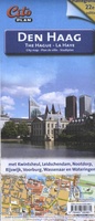 Stadsplattegrond Citoplan Den Haag | Buijten & Schipperheijn
Uitstekende stadsplattegrond van Den Haag. Met Kwintsheul, Leidschendam, Nootdorp, Rijswijk, Voorburg, Wassenaar en Wateringen
★★★★★
Laatste reviews

Veel kaarten op stock en gemakkelijk te bestellen. Snel geleverd
★★★★★ door Rob 29 april 2024 | Heeft dit artikel gekocht
We hebben een landkaart van Albanië besteld. Deze hebben we in goede staat ontvangen
★★★★★ door Ida van der Heiden 26 april 2024 | Heeft dit artikel gekocht
Zoals gewend van de Alpverein weer een mooie en duidelijke kaart voor dit mooie wandelgebied incl. hutten.
★★★★★ door B van R 26 april 2024 | Heeft dit artikel gekocht
Duidelijke en mooie kaart van het gebied. Oogt stevig/dik waardoor niet snel kapot tijdens wandelingen. Sommige tekens zijn wel wat aan de kleine kant waardoor …
★★★★★ door B van R 26 april 2024 | Heeft dit artikel gekocht