Categorieën
Veilig online betalen
Betaal veilig via uw eigen bankomgeving
Collins
Maak je reis compleet met de handige reisgidsen en wegenkaarten van Collins
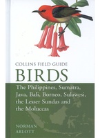 Vogelgids Birds of the Philippines, Sumatra, Java, Bali, Borneo, Sulawesi, the Lesser Sundas and the Moluccas | Collins
This comprehensive new field guide is an excellent addition to the world-renowned series – the ultimate reference book for travelling birdwatchers. Every species of bird you might encounter in …
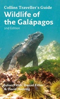 Natuurgids Wildlife of the Galapagos | Collins
Since its first publication more than a decade ago, Wildlife of the Galápagos has become the definitive, classic field guide to the natural splendors of this amazing part of the …
★★★★★ Wegenkaart - landkaart Ireland | Collins
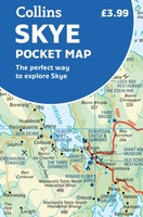 Wegenkaart - landkaart Pocket Map Skye | Collins
Handy little full colour Collins map of Skye with a high level of detail. Clear mapping of the Isle of Skye showing the road network, ferries and places of interest. …
★★★★★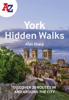 Wandelgids York | Collins
 Atlas The Times Mini Atlas of the World | Collins
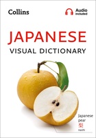 Woordenboek Visual Dictionary Japanese - Japans taalgids | Collins
Super handig! Een taalgids waarbij naast de gewone vertaling en een fonetische poging daartoe ook een plaatje staat weergegeven. Ideaal voor een moeizame conversatie in een taal die je echt …
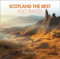 Reisgids Scotland the Best 100 Places - Schotland | Collins
100 beautiful places in Scotland to walk, eat and sleep Peter Irvine, bestselling author of SCOTLAND THE BEST,has selected 100 extraordinary places that epitomise what istruly great about Scotland. This …
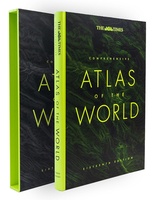 Atlas The Times Comprehensive Atlas of the World | Collins
De moeder aller atlassen in een nieuwe druk. Als je al een atlas wilt kopen, bezuinig dan niet en doe deze: veruit de beste meest complete atlas in een prachtige …
★★★★★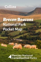 Wegenkaart - landkaart National Park Pocket Map Brecon Beacons | Collins
Handige kleine kaart van dit Nationaal Park. De kaart geeft een goed en helder overzicht van het gebied met alle plaatsen, doorgaande wandelpaden (alhoewel grof van schaal), bezienswaardigheden etc. Met …
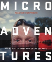 Reisgids Microadventures | Collins
Deze praktische gids staat vol met ideeën voor microadventures - om zelf of met vrienden en familie te beleven - en meer dan 150 verbluffende foto's, plus tips en advies …
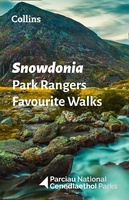 Wandelgids Park Rangers Favourite Walks Snowdonia | Collins
Compacte wandelgids met 20 wandelingen geselecteerd door park rangers en met duidelijke beschrijvingen en routekaartjes. Walking guide to the Snowdonia National Park, with 20 best routes chosen by the …
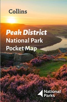 Wegenkaart - landkaart National Park Pocket Map Peak District | Collins
Handige kleine kaart van dit Nationaal Park. De kaart geeft een goed en helder overzicht van het gebied met alle plaatsen, doorgaande wandelpaden (alhoewel grof van schaal), bezienswaardigheden etc. Met …
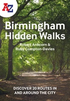 Wandelgids Birmingham | Collins
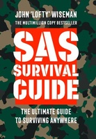 Survivalgids SAS Survival Guide | Collins
De echte SAS gids in mini formaat: handig om mee te nemen en hartstikke leuk om kado te geven. The ultimate guide to survival, this edition now includes the most …
★★★★★★★★★★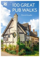 Wandelgids National Trust - Pub Walks | Collins
What better gift for a rambler than this delightful, clearly written and well researched guide to some of the UK's best walks with watering holes en route? .... With 'How …
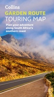 Wegenkaart - landkaart Garden Route | Collins
Full color, informative map of South Africa’s popular Garden Route. With detailed mapping and tourist information, this map is a perfect guide to traveling along the southern coast of South …
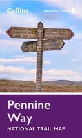 Wandelkaart National Trail Map Pennine Way | Collins
Overzichtskaart op vrij grove schaal van deze LAW Lange Afstands Wandeling in Engeland. Let op: je kunt er niet op lopen. Wel met veel informatie op de kaart, goed ingetekend, …
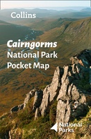 Wegenkaart - landkaart National Park Pocket Map Cairngorms | Collins
Handige kleine kaart van dit Nationaal Park. De kaart geeft een goed en helder overzicht van het gebied met alle plaatsen, doorgaande wandelpaden (alhoewel grof van schaal), bezienswaardigheden etc. Met …
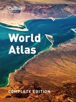 Atlas World Atlas complete | Collins
- 1
- 2
- 3
- Volgende >>
- 6
Laatste reviews

Kan de huidige ontstuimige ontwikkelingen wereldwijd, nu ook geografisch plaatsen en daarmee beter volgen.
★★★★★ door Leo Janssen 20 december 2024 | Heeft dit artikel gekocht
We hadden Piëmonte al eens bezocht en voor onze komende reis werd ons door kennissen deze gids aanbevolen. Inderdaad is dit een heel goede gids. …
★★★★★ door DWKdB 19 december 2024 | Heeft dit artikel gekocht
Mijn bestellingen zijn altijd goed en worden altijd op tijd geleverd. Komen afspraken goed na. Erg tevreden.
★★★★★ door Ben Wegdam 19 december 2024 | Heeft dit artikel gekocht
Zeer gedetailleerde kaart van het zuidelijke deel van het douaniers pad
★★★★★ door Marian 18 december 2024 | Heeft dit artikel gekocht