Wandelgidsen - Europa
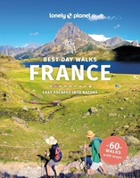 Wandelgids Best Day Walks France - Frankrijk | Lonely Planet
Lonely Planet heeft een nieuwe serie uitgebracht: Best Day Walks in verschillende landen. Het zijn de - door Lonely Planet uitgekozen - mooiste wandelingen verspreid over het land. Goed beschreven, …
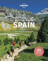 Wandelgids Best Day Walks Spain - Spanje | Lonely Planet
Lonely Planet heeft een nieuwe serie uitgebracht: Best Day Walks in verschillende landen. Het zijn de - door Lonely Planet uitgekozen - mooiste wandelingen verspreid over het land. Goed beschreven, …
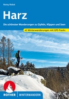 Wandelgids Harz - winterwandern - winterwandelingen | Rother Bergverlag
Leuke wandelgids met een groot aantal winter wandelingen in de Harz. Goed beschreven, veel praktische informatie, beperkte kaartjes. Wel met gradaties voor zwaarte van de dagtochten! Der Harz, die zauberhafte …
 Wandelgids Eifel | Reise Know-How Verlag
Die Eifel ist längst kein Geheimtipp mehr für Entdeckungslustige, wie auch für Ruhe Suchende. Die urwüchsige, sanft hügelige Mittelgebirgsregion gehört zu den attraktivsten Wandergebieten Deutschlands und wartet mit vielfältigen Naturlandschaften, …
★★★★★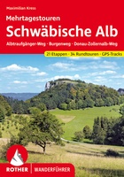 Wandelgids Schwäbische Alb Mehrtagestouren | Rother Bergverlag
Einzigartige Wacholderheiden, liebliche Streuobstwiesen, Fernsichten bis zu den Alpen und bizarre Felstürme im »Schwäbischen Grand Canyon« – die Schwäbische Alb geizt nicht mit Kontrasten. Mit dem Rother Wanderführer »Schwäbische Alb …
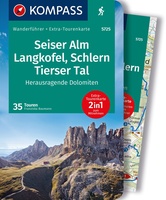 Wandelgids 5725 Seiser Alm, Langkofel, Schlern, Rosengarten | Kompass
Goede Duitstalige wandelgids met heldere beschrijvingen van de wandeltochten. Met hoogteprofiel, kaartje en de benodigde praktische informatie als bijvoorbeeld de startlocatie met GPS coordinaten. De wandelingen zijn ingedeeld in zwaarte …
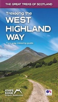 Wandelgids Trekking the West Highland Way: Two-Way Trekking Guide | Knife Edge Outdoor
The definitive two-way guide to the West Highland Way: both northbound and southbound routes are described in full. Real Maps: Full Ordnance Survey Explorer mapping inside (1:25,000). All accommodation is …
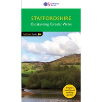 Wandelgids 081 Pathfinder Guides Staffordshire | Ordnance Survey
Fraaie, goed verzorgde wandelgidsjes met 28 wandelingen van max. een dag, (beginnend bij korte, eindigend bij langere wandelingen). Weergegeven op duidelijke topografische kaartjes (1:25.000). Bevat verder wetenswaardigheden en praktische informatie …
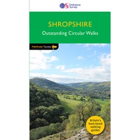 Wandelgids 080 Pathfinder Guides Shropshire | Ordnance Survey
Fraaie, goed verzorgde wandelgidsjes met 28 wandelingen van max. een dag, (beginnend bij korte, eindigend bij langere wandelingen). Weergegeven op duidelijke topografische kaartjes (1:25.000). Bevat verder wetenswaardigheden en praktische informatie …
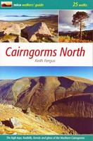 Wandelgids Cairngorms North | Mica Publishing
A detailed and superbly illustrated guidebook to walking the high tops, foothills, forests and glens of the Northern Cairngorms, one of Scotland's most popular mountain ranges, easily accessed from the …
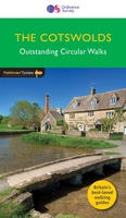 Wandelgids 006 Pathfinder Guides Cotswolds | Ordnance Survey
180 miles of wonderful walking in idyllic, limestone countryside . . . Take a journey on 28 beautiful walks across the Cotswolds with the OS Pathfinder Guidebooks, graded by …
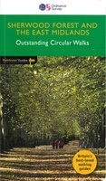 Wandelgids 020 Pathfinder Guides Sherwood Forest & the East Midlands | Ordnance Survey
Take a trip on 28 beautiful walks across Sherwood Forest & East Midlands with the OS Pathfinder Guidebooks, graded by length and ranging from 3 to 11 miles. The …
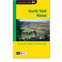 Wandelgids 028 Pathfinder Guides North York Moors | Ordnance Survey
Get lost in 28 beautiful walks exploring the North York Moors with the OS Pathfinder Guidebooks, graded by length and ranging from 3.5 to 11 miles. Make the most …
★★★★★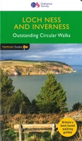 Wandelgids 030 Pathfinder Guides Loch Ness and Inverness | Ordnance Survey
Explore 28 beautiful walks across Loch Ness & Inverness with the OS Pathfinder Guidebooks, graded by length and ranging from 2 to 16 miles. The routes range from extended …
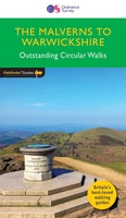 Wandelgids 074 Pathfinder Guides The Malverns to Warwickshire | Ordnance Survey
Discover 28 beautiful walks across The Malverns to Warwickshire with the OS Pathfinder Guidebooks, graded by length and ranging from 3 to 9 miles - ideal for both holidaymakers and …
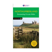 Wandelgids 087 Pathfinder Guides Northumberland | Ordnance Survey
Pathfinder® Guide to Northumberland, featuring 28 outstanding walks designed for a range of abilities covering 180 miles of walking. Features: 28 guided walks for a range of abilities …
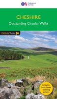 Wandelgids 042 Pathfinder Guides Cheshire | Ordnance Survey
175 miles of delightfully pastoral country walking from Thurstaston Common on the Wirral to Tegg's Nose on the north-western fringes of the Peak District National Park . . . …
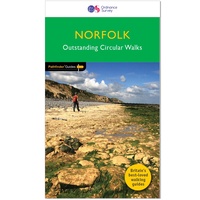 Wandelgids 045 Pathfinder Guides Norfolk | Ordnance Survey
200 miles of inland and coastal walking visiting windpumps and watermills . . . Walk 28 beautiful trails across Norfolk with the OS Pathfinder Guidebooks, graded by length and …
 Wandelgids 050 Pathfinder Guides Pathfinder Lincolnshire & the Wolds | Ordnance Survey
Discover 28 beautiful walks across Lincolnshire & the Wolds with the OS Pathfinder Guidebooks, graded by length and ranging from 3 to 11 miles. Explore the second largest county …
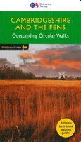 Wandelgids 051 Pathfinder Guides Cambridgeshire & the Fens | Ordnance Survey
Explore 28 beautiful walks across Cambridgeshire and the Fens with the OS Pathfinder Guidebooks, graded by length and ranging from 3 to 11 miles. It is the flattest place …
Laatste reviews

Prima koop
★★★★★ door Paul van Schelt 26 november 2024 | Heeft dit artikel gekocht
Het product wat ik van u heb ontvangen is prima !! maar voldoet niet geheel aan mijn verwachtingen want ik had een iets overzichtelijkere plattegrond …
★★★★★ door W. Breeschoten 26 november 2024 | Heeft dit artikel gekocht
De kaart NEPAL is netjes uitgevoerd en voldoet bijna aan mijn wensen : De plattegrond van KATHMANDU had ik liever iets uitvoeriger gezien en voorzien …
★★★★★ door Wout Breeschoten 26 november 2024 | Heeft dit artikel gekocht
Het is een mooi boekje, super handig. Beter dan de volwassen versie.
★★★★★ door Petra 26 november 2024 | Heeft dit artikel gekocht


