Kaarten - Engeland
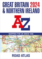 Wegenatlas Great Britain and Northern Ireland Road Atlas 2024 | A-Z Map Company
A full-colour, paperback road atlas of Great Britain, now fully revised and updated. Clear detailed road mapping at a scale of 3.5 miles to 1 inch. Presented in a large, …
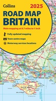 Wegenkaart - landkaart Road Map of Britain 2025 | Collins
Full-colour, double-sided road map of Great Britain at a scale of 8.7 miles to 1 inch. Northern England, Scotland and the Isle of Man are on one side with Southern …
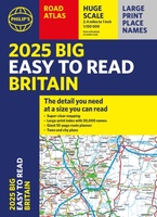 Wegenatlas Philip's Easy to Read Road Atlas of Britain 2025 | A3-Formaat | Paperback | Philip's Maps
With the detail you need at a size you can read, the latest edition of 2025 Philip's Big Easy to Read Road Atlas of Britain is super-clear, super-sized and bang …
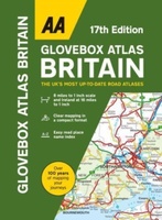 Wegenatlas AA Glovebox Atlas Britain | AA Publishing
This handy atlas fits in the glovebox of your car, perfect for quick referencing on the move. The clear mapping includes a range of essential motoring and useful touring information …
 Spoorwegenkaart The British Isles by Train and Ferry | Cosmographics
Plan your journey and explore the British Isles by train and ferry. This attractive, detailed map shows how the rail network, along with ferries to the more isolated areas, allows …
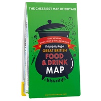 Wegenkaart - landkaart Great British food & drink Map | Ordnance Survey
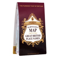 Wegenkaart - landkaart Great British place names map | Ordnance Survey
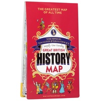 Wegenkaart - landkaart British Great British History Map | Ordnance Survey
Travel through time, uncover Britain’s history and heritage and find clues from the past to inspire your future adventures. Visit Britain’s Top 50 historical locations in one era-spanning road trip …
 Stadsplattegrond Londen miniguide | ExpressMap
 Wegenkaart - landkaart Engeland Zuid & Wales | Reise Know How★★★★★
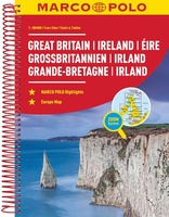 Wegenatlas Groot Brittannie & Ierland | Marco Polo
Goede wegenatlas met gedetailleerde kaarten. Alle wegen staan erop vermeldt plus onverharde wegen. Pittoreske weggetjes die de moeite waard zijn, zijn groen gearceerd. Alle toeristische informatie, ook campings zijn er …
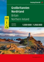 Wegenatlas Großbritannien - Nordirland - Groot Brittanië & Noord Ierland | A4 | Ringband | Freytag & Berndt
 Wegenkaart - landkaart Great Britain, Ireland - Groot-Brittannië / Ierland | ExpressMap
 Wegenkaart - landkaart Hadrian’s Wall / Noord Engeland | ITMB
 Wegenkaart - landkaart Engeland East Coast - Engeland Oostkust | ITMB
Laatste reviews

Blij dat De Zwerver deze perfecte, franstalige IGN gidsen aanbiedt en dan óók met een woordenlijst erbij gevoegd. De voorbereiding kan beginnen na een vlotte …
★★★★★ door Lie van Schelven 06 januari 2025 | Heeft dit artikel gekocht
Voor een paar dagen Leipzig een prima reisgids. Het deel voor Dresden is aanmerkelijk groter maar was niet hinderlijk.
★★★★★ door J.A. Pazie 06 januari 2025 | Heeft dit artikel gekocht
Op reis in Botswana is deze kaart onmisbaar en vreselijk nuttig. Handig met tankstations. Snel thuisbezorgd.
★★★★★ door henk heeringa 06 januari 2025 | Heeft dit artikel gekocht
Zeer tevreden.
★★★★★ door R. Ahlers 06 januari 2025 | Heeft dit artikel gekocht


