Categorieën
Veilig online betalen
Betaal veilig via uw eigen bankomgeving
♦ North York Moors Nationaal Park
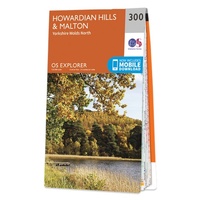 Wandelkaart - Topografische kaart 300 OS Explorer Map Howardian Hills, Malton | Ordnance Survey
Met zijn 4cm voor 1 km (2 ½ cm voor 1 mijl) schaal, is de OS Explorer kaartenserie de ideale en meest gedetailleerde kaartenreeks voor mensen die graag outdoor-activiteiten zoals …
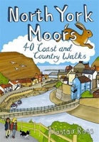 Wandelgids North York Moors | Pocket Mountains
Handige compacte wandelgids met 40 dagwandelingen. Deze gids bevat kleine kaartjes en leuke uitgebreide informatie over wat er langs de route te zien is. Goede wandelkaarten zijn echter we noodzakelijk …
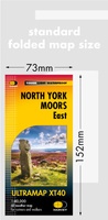 Wandelkaart North York Moors Oost | Harvey Maps
Covers a large area yet is handily compact. Pocket perfect! Detailed map for runners and walkers of the eastern section of the North York Moors National Park at the …
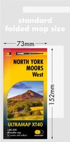 Wandelkaart North York Moors West | Harvey Maps
Covers a large area yet is handily compact. Pocket perfect! Detailed map for runners and walkers of the western section of the North York Moors National Park at the …
 Wandelgids Cleveland Way | Trailblazer Guides
All the information you need to enjoy your hiking adventure along the Cleveland Way in this fully revised and updated 2nd edition. In the beautiful, wild countryside of the North …
 Wandelgids Cleveland Way | Rucksack Readers
“A testament to excellent research, writing and photography” - Malcolm Hodgson, Trail Manager The Cleveland Way is one of England’s oldest and best-loved National Trails. It runs for 108 …
 Wandelgids Wainwright's Coast to Coast Walk | Frances Lincoln
This is the first fully revised and updated edition of A. Wainwright's pocket-sized guide to the Coast to Coast Walk which he devised in the early 1970s. Over the years, …
 Wandelgids Trekking the Cleveland Way | Knife Edge Outdoor
The definitive two-way guide to the Cleveland Way, one of England's epic National Trails: both eastbound and westbound routes are described in full. Real Maps: Full Ordnance Survey mapping …
 Wandelgids Day Walks the North York Moors | Vertebrate Publishing
Day Walks on the North York Moors showcases 20 circular walks, between 5 and 13.7 miles (8 and 22 kilometres) in length, suitable for hillwalkers of all abilities. The routes …
 Wandelgids North York Moors: Western Area | Hallewell Publications
Rewalked and updated in 2022, Walks North York Moors (Western Area) features walks in the North York Moors National Park - an area of picturesque moorland intersected by narrow dales, …
 Wandelgids North York Moors: Eastern Area | Hallewell Publications
Rewalked and undated in 2022, this guide features walks in Eastern part of the North York Moors National Park (OS Sheet OL27), including sections of the Cleveland Way along the …
 Wandelgids 013 Pathfinder Short Walks North York Moors | Ordnance Survey
 Mountainbikegids North York Moors Mountain Biking | Vertebrate Publishing
Laatste reviews

Snelle en correctelevering van de kaart van Noorwegen. Een prachtige en overzichtelijke kaart die een goede indruk geeft van het landschap met hoogtelijnen.
★★★★★ door Hanneke van Dam 07 januari 2025 | Heeft dit artikel gekocht
Blij dat De Zwerver deze perfecte, franstalige IGN gidsen aanbiedt en dan óók met een woordenlijst erbij gevoegd. De voorbereiding kan beginnen na een vlotte …
★★★★★ door Lie van Schelven 06 januari 2025 | Heeft dit artikel gekocht
Voor een paar dagen Leipzig een prima reisgids. Het deel voor Dresden is aanmerkelijk groter maar was niet hinderlijk.
★★★★★ door J.A. Pazie 06 januari 2025 | Heeft dit artikel gekocht
Op reis in Botswana is deze kaart onmisbaar en vreselijk nuttig. Handig met tankstations. Snel thuisbezorgd.
★★★★★ door henk heeringa 06 januari 2025 | Heeft dit artikel gekocht