Categorieën
Veilig online betalen
Betaal veilig via uw eigen bankomgeving
Wales
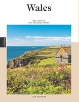 Reisgids PassePartout Wales | Edicola
Wie Wales zegt, zegt schitterende natuur, vriendelijke mensen en een rijke Keltische geschiedenis. Het land in het Verenigd Koninkrijk telt maar liefst drie nationale parken: het berggebied Snowdonia, de …
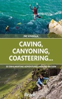 Reisgids Caving, Canyoning, Coasteering | Bradt Travel Guides
You don't need to be ultra-fit or highly experienced in the outdoors to enjoy outdoor guru Patrick Kinsella's selection of 30 activities across Britain. 'A sense of adventure and an …
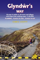 Wandelgids Gllyndwr's Way | Trailblazer Guides
This title in our British Walking Guides series covers the 135-mile National Trail in Wales following in the footsteps of Owain Glyndŵr, the Welsh prince who led a rebellion against …
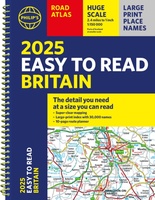 Wegenatlas Philip's Easy to Read Road Atlas of Britain 2025 | A4-Formaat | Ringband | Philip's Maps
"The detail you need at a size you can read". The latest 2025 Philip's Easy to Read Road Atlas of Britain from the best-selling Road Atlas range has over 350 …
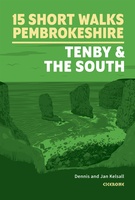 Wandelgids 15 Short Walks in Pembrokeshire: Tenby and the South | Cicerone
Dennis and Jan Kelsall have chosen 15 of the best short walks around Tenby and south Pembrokeshire for you to explore. Our guide comes with easy-to-read Ordnance Survey maps and …
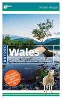 Reisgids ANWB Ontdek Wales | ANWB Media
ANWB Ontdek Wales Verken Wales op een andere manier met de uitgebreide ANWB-reisgids Ontdek Wales! Natuurlijk mag je bezienswaardigheden zoals Mount Snowdon, met zijn kusten en kastelen en Cardiff met …
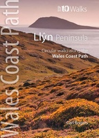 Llyn Peninsula | Northern Eye Books
This handy little guide book gives you the ten very best short circular walks along the Llŷn peninsula section of the Wales Coast Path The Llŷn pushes 30 miles …
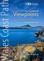 Wandelgids Pembrokeshire - Walks to Coastal Viewpoints | Northern Eye Books
This attractive and good looking book will take you on ten short circular walks to some of the finest and most iconic views and viewpoints along the rugged Pembrokeshire coast, …
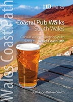 Wandelgids Coastal Pub Walks: South Wales | Northern Eye Books
South Wales’ best coastal pub walks This pocket-sized guide gives walkers ten easy, circular walks to amazing coastal pubs along the South Wales section of the Wales Coast Path. …
 Reisinspiratieboek - Wandelgids Wanderlust - Groot-Brittannië en Ierland | Kosmos Uitgevers
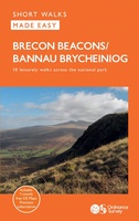 Wandelgids Brecon Beacons | Ordnance Survey
Get outside and enjoy ten short leisurely strolls across the Brecon Beacons National Park, indulging in wonderful mountain views across Southern Britain’s hilliest terrain. With routes for all abilities, enjoy …
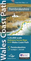 Wandelgids Pembrokeshire | Northern Eye Books
OS Map Books: Wales Coast Path: Pembrokeshire Coast Path Map Atlas | Ordnance Survey ‘Explorer’ Large-scale 1:25,000 maps for the Pembrokeshire Coast in compact book format | Pocket Atlas | …
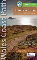 Wandelgids Llyn Peninsula Wales Coast Path | Northern Eye Books
One of seven Official Guides for the 870 mile/1400 kilometre-long, world-class Wales Coast Path. Commissioned by the Welsh government body who created and manage the path, this attractive, reliable, …
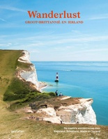
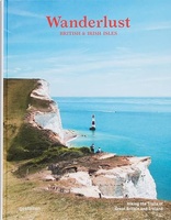 Reisinspiratieboek Wanderlust British and Irish Isles | Gestalten Verlag
From breathtaking nature to timeless culture, explore the hiking trails and the wonders of the British Isles. The British and Irish Isles are a paradise for hikers. They provide a …
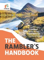 Wandelgids The Rambler's Handbook | Quercus Publishing
Discover the best of Britain's rambles, all year round. Britain is brimming with stunning walks, and this go-to guide sets out our 40 favourite routes around the UK. Arranged by …
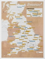 Scratch Map Bier Brouwerijen Groot-Brittannië Collect & Scratch | Maps International
Scratch Off UK Breweries Print is the perfect gift for beer lovers. This is the best way to display your travels to each brewery or if you have sampled the …
 Fietsgids Bikepacking Wales | Vertebrate Publishing
Bikepacking Wales by Emma Kingston contains 18 great multi-day mountain bike adventures. For such a compact country, Wales has a fantastic variety of trails to explore. Explore the world-class …
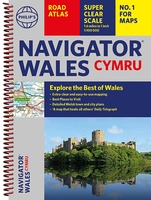 Wegenatlas Wales Navigator | A4 | Ringband | Philip's Maps
Ideaal voor fietsers! Explore the many attractions of Wales with this easy-to-use road atlas showing all the top spots. Easy-to-read mapping, superb extra detail, and a great lie-flat format make …
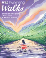 Reisgids - Wandelgids Walks Eryri Snowdonia | Wild Things Publishing
Wild Swimming Walks Eryri Snowdonia leads you on 28 adventures in the soaring landscape of Eryri National Park in north Wales. Swim through secret valleys and find hidden waterfalls, exploring …
 Fietsgids Best Bike Rides Great Britain | Lonely Planet
Lonely Planet's Best Bike Rides Great Britain is your passport to 40 day trips on two wheels. Use pedal power to see a destination through a new lens by picking …
Laatste reviews

Kan de huidige ontstuimige ontwikkelingen wereldwijd, nu ook geografisch plaatsen en daarmee beter volgen.
★★★★★ door Leo Janssen 20 december 2024 | Heeft dit artikel gekocht
We hadden Piëmonte al eens bezocht en voor onze komende reis werd ons door kennissen deze gids aanbevolen. Inderdaad is dit een heel goede gids. …
★★★★★ door DWKdB 19 december 2024 | Heeft dit artikel gekocht
Mijn bestellingen zijn altijd goed en worden altijd op tijd geleverd. Komen afspraken goed na. Erg tevreden.
★★★★★ door Ben Wegdam 19 december 2024 | Heeft dit artikel gekocht
Zeer gedetailleerde kaart van het zuidelijke deel van het douaniers pad
★★★★★ door Marian 18 december 2024 | Heeft dit artikel gekocht