Lowlands | Schotse Laaglanden en grenzen
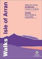 Wandelgids Isle of Arran | Hallewell Publications
Rewalked and updated in 2015, Walks Isle of Arran features 24 walks on the mountainous island of Arran in the Firth of Clyde. Known as `Scotland in miniature', the island …
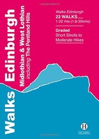 Wandelgids Edinburgh, Midlothian and West Lothian | Hallewell Publications
Rewalked and updated in 2021, Walks Edinburgh, Midlothian & West Lothian including The Pentland Hills features walks in and around Scotland's capital city. The guide covers the city of Edinburgh, …
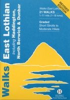 Wandelgids East Lothian | Hallewell Publications
Rewalked and updated in 2017, Walks East Lothian including Haddington, North Berwick & Dunbar covers the county of East Lothian, which lies to the east of Edinburgh. Walks include a …
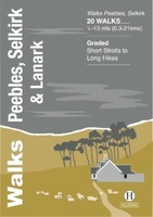 Wandelgids Peebles, Selkirk & Lanark | Hallewell Publications
The latest in this popular series of pocket walking guides, including routes around the towns of Peebles, Selkirk and Lanark in the Scottish Borders. This guide covers the old counties …
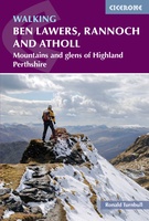 Wandelgids Walking Ben Lawers, Rannoch and Atholl | Cicerone
Wandelgids met 80 wandelingen van verschillende niveaus in het gebied van de Perthshire Highlands. The south-eastern Grampians of the former county of Perthshire may be grassier and less rugged than …
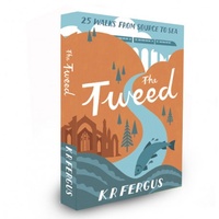 Wandelgids The Tweed | Pocket Mountains
Handige compacte wandelgids met 40 dagwandelingen. Deze gids bevat kleine kaartjes en leuke uitgebreide informatie over wat er langs de route te zien is. Goede wandelkaarten zijn echter we noodzakelijk …
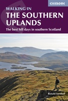 Wandelgids Walking in the Southern Uplands | Cicerone
This guidebook describes 44 routes and over 100 summits stretching across the Southern Uplands of Scotland, stretching south-west from Edinburgh to the English border, including the Galloway and Pentland Hills. …
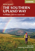 Wandelgids The Southern Upland Way | Cicerone
Uitstekende wandelgids van de Southern Upland Way, waarbij naast alle noodzakelijke informatie ook gebruik gemaakt wordt van de echte topografische kaart. The Southern Upland Way is Scotland's coast-to-coast walk …
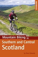 Fietsgids - Mountainbikegids Mountain Biking in Southern and Central Scotland | Cicerone
Degelijke fietsgids met 21 mountainbike routes in zuid en midden Schotland. Goede beschrijvingen en duidelijke kaarten. This guidebook describes 21 mountain biking routes in central and southern Scotland. It …
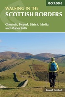 Wandelgids Walking in the Scottish Borders | Cicerone
This guidebook provides 45 day walks in the Scottish Borders. Separated into six sections, these walks are divided between the north and south Cheviots, Tweed, Ettrick, Moffat and Manor hills …
 Spoorwegenkaart Schotland - Scotland Central and South Rail and Road | ITMB
Een degelijke kaart met aanduidingen van o.a. spoorlijnen, nationale parken, vliegveld, benzinepomp, dirt-roads en kleine plattegrond van hoofdstad. Als overzichtskaart goed te gebruiken. This is another new ITMB title and …
★★★★★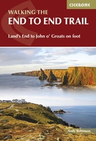 Wandelgids Walking The End to End Trail | Cicerone
Een droomroute voor velen: helemaal van het zuidelijkste puntje van Engeland naar het noordelijkste puntje van Schotland, zo'n slordige 1956 km door fabelachtig mooie afwisselende landschappen. Zeer gedetailleerd beschreven met …
 Wegenkaart - landkaart Nord- und Mittelengland / Northern England & the Midlands | Reise Know-How Verlag
Hochreißfeste und 100% wasserfeste Landkarte "Nord- und Mittelengland" aus der Serie world mapping project, erschienen im Reise Know-How Verlag. Reise Know-How Landkarten zeichnen sich durch besonders stabiles Kunststoffpapier aus, …
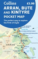 Wegenkaart - landkaart Pocket Map Arran, Bute and Kintyre | Collins
Handy little full colour map of Arran, Bute and Kintyre. Main features of this map include: • Clear mapping • Main tourist attractions located and described • Ideal for …
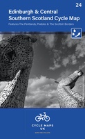 Fietskaart 24 Cycle Maps UK Edinburgh - Central Southern Scotland | Cordee
Een nieuwe fietskaarten serie van Groot-Brittannië. Gedrukt op scheur- en watervast papier en mooi handzaam klein formaat. Deze kaarten zijn met name heel goed om de Lange Afstands Fietsroutes (LF) …
★★★★★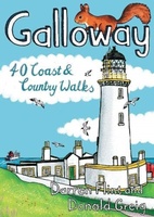 Wandelgids Galloway | Pocket Mountains
Handige compacte wandelgids met 40 dagwandelingen. Deze gids bevat kleine kaartjes en leuke uitgebreide informatie over wat er langs de route te zien is. Goede wandelkaarten zijn echter we noodzakelijk …
 Wandelkaart Jura - Schotland | Harvey Maps
Shows the Paps of Jura and includes 1 Corbett and 2 Grahams. This detailed map for hillwalkers shows the whole of the Isle of Jura at the popular 1:25,000 …
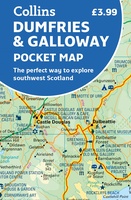 Wegenkaart - landkaart Pocket Map Dumfries & Galloway | Collins
Handy little full colour map of Dumfries & Galloway. Main features of this map include: • Clear mapping • Main tourist attractions located and described • Ideal for touring …
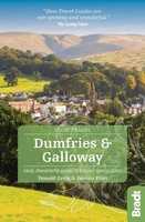 Reisgids Slow Travel Dumfries and Galloway | Bradt Travel Guides
Reisgids over een specifiek deel van Schotland met veel cultuur en geschiedenis, maar zeker ook praktische tips zoals je van uitgever Bradt mag verwachten. Written by resident experts, this new, …
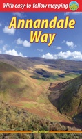 Wandelgids Annandale Way | Rucksack Readers
The Annandale Way is a charming long walk in a little-known, but very accessible, part of southern Scotland. Walked southward from source to the sea, it starts in the sheep …
Laatste reviews

Aan twee kanten bedrukt met hetzelfde gebied, de ene kant gaf wandelingen weer, de andere kant mountainbikeroutes. Ruim een week vóór de wandelvakantie gekocht, een …
★★★★★ door elly stolwijk 04 december 2024 | Heeft dit artikel gekocht
Deze kaarten gebruik ik om mooie wandelingen uit te zetten, die ik dan met mijn liefste meisje beloop. Dank u wel voor de snelle adequate …
★★★★★ door Jacques Marks 03 december 2024 | Heeft dit artikel gekocht
Ook ik ben een zwerver, maar gelukkig niet dakloos. Deze kaarten gebruik ik om mooie wandelingen uit te zetten, die ik dan met mijn liefste …
★★★★★ door Jacques Marks 03 december 2024 | Heeft dit artikel gekocht
Perfect👍
★★★★★ door Wilma & Mari 03 december 2024 | Heeft dit artikel gekocht


