Kaarten - Extremadura
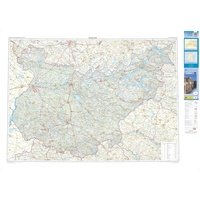 Wegenkaart - landkaart Mapa Provincial Badajoz | CNIG - Instituto Geográfico Nacional
Deze kaart is zuiver gericht op de provincie als in de titel. Gebieden naast de kaart worden zonder kleur weergegeven. Ideale kaart als het gaat om het onderscheid in topografische …
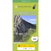 Wandelkaart 8 Parques Nacionales Montfrague, Extremadura | CNIG - Instituto Geográfico Nacional
Nationaalpark Extremadura Parque Nacional de Montfragüe is een set van wandelgids en zeer gedetailleerde wandelkaart 1:25.000 van het Nationale Park Mont Frague, Torrejon el Rubio in zuid Spanje, Extremadura (noordoostelijk …
★★★★★★★★★★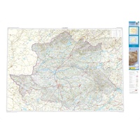 Wegenkaart - landkaart Mapa Provincial Caceres | CNIG - Instituto Geográfico Nacional
Deze kaart is zuiver gericht op de provincie als in de titel. Gebieden naast de kaart worden zonder kleur weergegeven. Ideale kaart als het gaat om het onderscheid in topografische …
★★★★★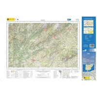 Topografische kaart 573-IV Gata | CNIG - Instituto Geográfico Nacional1
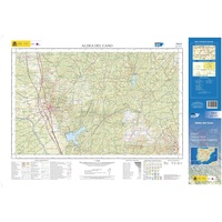 Topografische kaart 729-II Aldea del Cano | CNIG - Instituto Geográfico Nacional1
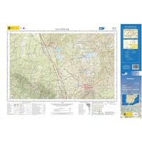 Topografische kaart 729-IV Alcuéscar | CNIG - Instituto Geográfico Nacional1
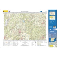 Topografische kaart 730-I Valdefuentes | CNIG - Instituto Geográfico Nacional1
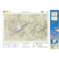 Topografische kaart 730-III Montánches | CNIG - Instituto Geográfico Nacional1
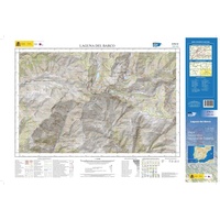 Topografische kaart 576-IV Laguna del Barco | CNIG - Instituto Geográfico Nacional1
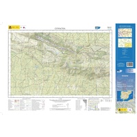 Topografische kaart 702-IV Covacha | CNIG - Instituto Geográfico Nacional1
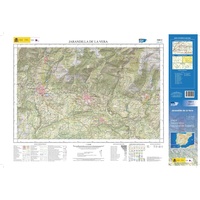 Topografische kaart 599-II Jarandilla de la Vera | CNIG - Instituto Geográfico Nacional1
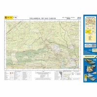 Topografische kaart 623-III Villarreal de San Carlos | CNIG - Instituto Geográfico Nacional1
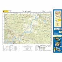 Topografische kaart 623-IV La Bazagona | CNIG - Instituto Geográfico Nacional1
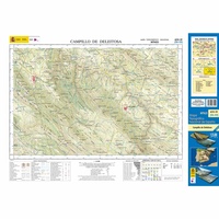 Topografische kaart 652-IV Campillo de Deleitosa | CNIG - Instituto Geográfico Nacional1
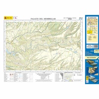 Topografische kaart 709-III Palacio del Membrillar | CNIG - Instituto Geográfico Nacional1
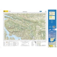 Topografische kaart 734-I Bohonal | CNIG - Instituto Geográfico Nacional1
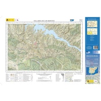 Topografische kaart 734-III Villarta de los Montes | CNIG - Instituto Geográfico Nacional1
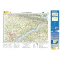 Topografische kaart 755-II Casas de Don Pedro | CNIG - Instituto Geográfico Nacional1
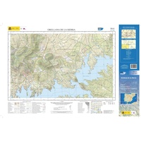 Topografische kaart 755-III Orellana de la Sierra | CNIG - Instituto Geográfico Nacional1
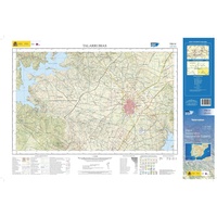 Topografische kaart 755-IV Talarrubias | CNIG - Instituto Geográfico Nacional1
- 1
- 2
- 3
- Volgende >>
- 4
Laatste reviews

De eerste levering van de landkaart Oman is niet bezorgd door PostNL. Daarom heb ik contact opgenomen. Zonder probleem werd een nieuwe levering toegezegd en …
★★★★★ door Els 12 januari 2025 | Heeft dit artikel gekocht
Handig formaat met overzichtelijke nuttige inhoud. Ruimte voor notities. Een aanrader dus.
★★★★★ door Vera van Miert 10 januari 2025 | Heeft dit artikel gekocht
Wij hebben veel gereisd door Griekenland Ondanks alle navigatie systemen vertrouwen nog steeds op de (ouderwetse landkaarten) Bij de zwerver kun je bijna alle kaarten …
★★★★★ door Henri Nonhebel 09 januari 2025 | Heeft dit artikel gekocht
Eindelijk een reisboek dat echte informatie over een land en haar bevolking verschaft; en ook nog eens zeer leesbaar!
★★★★★ door Piet Maartense 09 januari 2025 | Heeft dit artikel gekocht


