Categorieën
Veilig online betalen
Betaal veilig via uw eigen bankomgeving
British Columbia
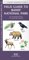 Vogelgids - Natuurgids Field guide to Banff National Park Wildlife | Waterford Press
Een bijzonder handige uitklapkaart met alle veelvoorkomende dieren en planten van Banff National Park. Duidelijke illustraties, goede korte omschrijving van soort en leefgebied, geplastificeerd. This fold-up, laminated card …
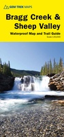 Wandelkaart 08 Bragg Creek and Sheep Valley | Gem Trek Maps
Gem Trek’s BRAGG CREEK & SHEEP VALLEY MAP is for hikers and outdoor enthusiasts looking to explore Kananaskis Country west and south of Bragg Creek. Whether you are touring along …
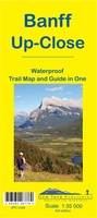 Wandelkaart 11 Banff Up-Close | Gem Trek Maps
Gem Trek Map-Guides Banff Up-Close (11) - This map-and-guide-in-one is designed for people who are only going to be in Banff for one to three days, and want to know …
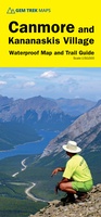 Wandelkaart 06 Canmore & Kananaskis Village | Gem Trek Maps
This map covers some of the most popular terrain for hikers and mountain bikers in Kananaskis Country - Bow Valley Provincial Park, the Canmore area, the Smith-Dorrien/Spray Lakes area south …
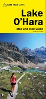 Wandelkaart 14 Lake O'Hara | Gem Trek Maps
Mooie, gedetailleerde kaart uit de serie van Gem Trek Hiking map-guides, van het gebied Lake O'Hara. This is a detailed map of the Lake O'Hara area. On the front …
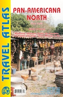 Wegenkaart - landkaart - Wegenatlas Pan-Americana North | ITMB
Wegenatlas - A5 formaat - verschillende schalen - voor de het Noord-Amerikaanse gedeelte van de Pan-Americana ( Pan-American Highway ) van Alaska langs the Pacific kust van British Colombia in …
★★★★★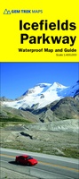 Wegenkaart - landkaart Icefields Parkway | Gem Trek Maps
Whether you have a day or a week to spend exploring the sights along the spectacular Icefields Parkway highway, Gem Trek's ICEFIELDS PAKRWAY MAP, a combination map and guide, will …
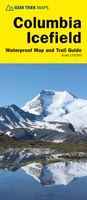 Wandelkaart 02 Columbia Icefield | Gem Trek Maps
Waterproof and tear-resistant hiking and recreation map for the Columbia Icefield region of the Canadian Rockies. Updated with the latest satellite imagery of the icefield extent, Gem Trek's Columbia …
 Reisgids Eyewitness Travel USA- Canada the Pacific Northwest | Dorling Kindersley
Three-dimensional cutaway illustrations and floor plans of key landmarks complement these richly illustrated, fully updated travel handbooks that also include enhanced maps, street-by-street guides, background information on a host of …
★★★★★ Wegenkaart - landkaart Alaska's Inside Passage | ITMB
Een degelijke kaart met aanduidingen van o.a. nationale parken, vliegveld, benzinepomp, dirt-roads en kleine plattegronden van Anchorage, Seattle, Vancouver en Victoria. Als overzichtskaart goed te gebruiken. We recently released …
★★★★★ Wegenatlas Travel Atlas Alaska Highway | ITMB
A5 boekvorm This booklet is the same size as all other ITMB atlases and is designed to fit comfortably in a user's backpack, purse, or car door storage bin. …
 Wandelkaart - Wegenkaart - landkaart 903 Jasper North National Park | National Geographic
Goede kaart van een deel van Jasper National Park. Geschikt voor overzicht maar ook voor de langere trails: campsites, rivieren, paden, alles kun je er op terug vinden. National Geographic's …
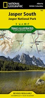 Wandelkaart - Wegenkaart - landkaart 902 Jasper South National Park | National Geographic
Goede kaart van een deel van Jasper National Park. Geschikt voor overzicht maar ook voor de langere trails: campsites, rivieren, paden, alles kun je er op terug vinden. National …
 Wegenkaart - landkaart Whistler & Sea to Sky Highway | ITMB
Goede overzichtskaart van een gedeelte van Canada
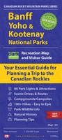 Wegenkaart - landkaart Banff, Yoho & Kootenay national parks | Clark Geomatics
Handige geplastificeerde overzichtskaart van Banff, Yaho & Kootenay Nationaal Park in west Canada. Een duidelijk leesbare kaart die goed te gebruiken is voor het plannen van de route en het …
★★★★★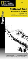 Wandelkaart - Topografische kaart 254 Chilkoot Trail | National Geographic
Prachtige geplastificeerde kaart van het nationaal park. Met alle recreatieve voorzieningen als campsites, maar ook met topografische details en wandelroutes ed. Door uitgekiend kleurgebruik zeer prettig in gebruik. Scheur en …
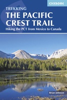 Wandelgids USA: The Pacific Crest Trail - from Mexico to Canada | Cicerone
Uitstekende wandelgids, goed beschreven met veel praktische informatie om de route te kunnen lopen, inclusief redelijke kaarten. Guidebook to the Pacific Crest Trail (PCT), an epic 2650 mile hike from …
★★★★★ Wegenkaart - landkaart 585 Western USA - Western Canada | Michelin
Wegenkaart van het westelijke gedeelte van de USA (zuid tot bovenste stukje Mexico, oost tot ongeveer Denver/ Regina) en westelijk Canada (t/m Edmonton in het noorden). Zie uitsnede op de …
★★★★★★★★★★ Wegenkaart - landkaart 92G Lower Mainland British Columbia - Richmond and New Westminster | ITMB
Goede wegenkaart van British Columbia met topografische uitsnede van Richmond en Westminster. Topographic/Recreation Map 92G&92G2 and G3 - With the 2010 Winter Olympics bearing down on us, this very timely …
 Wegenkaart - landkaart Canada west - Kanada west | Reise Know-How Verlag
Tweetalige kaart (Engels en Duits). Door ingetekende lengte- en breedtegraden is het gebruik van GPS mogelijk. Met hoogtelijnen en uitgebreid wegennetwerk: daarnaast worden ook de afstanden tussen belangrijke plaatsen duidelijk …
★★★★★
- 1
- 2
- 3
- Volgende >>
- 4
Laatste reviews

Heb de gids cadeau gedaan en die persoon was er heel blij mee ..
★★★★★ door J 21 november 2024 | Heeft dit artikel gekocht
De kaart van Kirgystan is prachtig, zeer gedetailleerd. Kan niet wachten tot de we echt op reis hmgaan die kant op.
★★★★★ door Marijke Eering 21 november 2024 | Heeft dit artikel gekocht
Super handig fiets boekje en mooi water bestendig. En handig om op de kaarten te kijken heel duidelijk beschrijving. Wij fietsen al jaren in Duitsland …
★★★★★ door Jenneke holterman 19 november 2024 | Heeft dit artikel gekocht
prima kaart levering en betaling allemaal vlot verlopen
★★★★★ door Marc Buts 19 november 2024 | Heeft dit artikel gekocht