Schotland
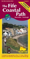 Wandelkaart The Fife Coastal Path | Footprint maps
A handy, waterproof map breaking down the Fife Pilgrim Way into seven sections. The Fife Pilgrim Way runs between North Queensferry or Culross and St Andrews. It is designed as …
 Wandelkaart Cairn Gorm | Harvey Maps
Includes 18 Munros of which 5 over 4000' (Cairn Gorm, Ben Macdui, Cairn Toul, Braeriach & Sgor an Loachain Uaine) and 3 Corbetts. Detailed map for hillwalkers of the …
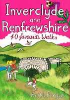 Wandelgids Inverclyde and Renfrewshire | Pocket Mountains
Bordered by the city of Glasgow to the east and the Firth of Clyde to the west, the villages and towns of Inverclyde and Renfrewshire prospered and grew during their …
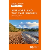 Wandelgids Aviemore and the Cairngorms | Ordnance Survey
Get outside in the Cairngorms, Britain’s largest national park, with ten tried-and-tested accessible walks along the Spey Valley. Discover ancient Caledonian woodland, beautiful lochs and sparkling rivers against a backdrop …
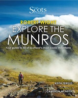 Wandelgids The Scots Magazine: Explore the Munros | Black and White Publishing
The Scottish landscape has a unique majesty like no other. It will sweep you away with the Alpine grandeur of the Skye Cuillin or enchant with the Arctic domes of …
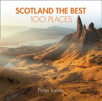 Reisgids Scotland the Best 100 Places - Schotland | Collins
100 beautiful places in Scotland to walk, eat and sleep Peter Irvine, bestselling author of SCOTLAND THE BEST,has selected 100 extraordinary places that epitomise what istruly great about Scotland. This …
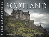 Fotoboek Scotland | Amber Books
Become a visual explorer through more than 200 stunning images that celebrate the beautiful country, culture, and history of Scotland. Scotland is rugged castles nestled amid mountains, lochs, and glens, …
 Wandelgids Trekking the West Highland Way: Two-Way Trekking Guide | Knife Edge Outdoor
The definitive two-way guide to the West Highland Way: both northbound and southbound routes are described in full. Real Maps: Full Ordnance Survey Explorer mapping inside (1:25,000). All accommodation is …
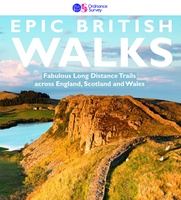 Wandelgids Epic British Walks | Ordnance Survey
This magnificent collection of truly EPIC WALKS brings together Britain’s most beautiful countryside with the long-distance trails that present the very best means of experiencing it. An inspiring introduction …
★★★★★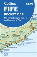 Wegenkaart - landkaart Pocket Map Fife | Collins
Handy little full colour map of the coastal Kingdom of Fife. Detailed mapping and tourist information from Dundee in the North to Edinburgh in the south and from Fife coast …
 Wandelgids Exploring the Fife Coastal Path | Birlinn
This is the ideal guide to the whole route, so rich in history and natural beauty. Designed to be used by walkers on the Path or visitors to any point …
 Fietsgids Bikeline Eurovelo 1 - Atlantic Coast Route | Esterbauer
Fantastische route van 11.150 km! For decades, thousands of vacationers have enjoyed cycling tours as the optimal travel method, and their numbers are growing daily. There are countless long-distance routes and …
 Reisverhaal The Longest Road Out | Daniel Craanen
The Longest Road Out is the road trip of a lifetime. Driving it gave us, without doubt, some of our favourite memories: from sampling succulent oysters on a sun-drenched Guernsey …
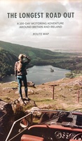 Wegenkaart - landkaart Routemap The Longest Road Out | Longestroadout
Deze kaart hoort bij het boek The Longest Road Out
 Reisgids Experience Scotland - Schotland | Lonely Planet
De nieuwste reisgidsen-serie van Lonely Planet: een luxe uitgave met als titel 'Experience... ' waarin aandacht voor de belangrijkste niet te missen hoogtepunten van het land. Ook hier wordt het …
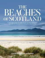 Reisgids The Beaches of Scotland | Vertebrate Publishing
Scotland is renowned for its dramatic, fierce landscapes, but many people don't realise that some of the country's most exhilarating scenery rests on its coastline. The Beaches of Scotland by …
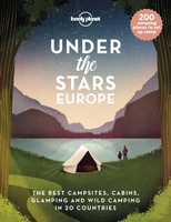 Reisinspiratieboek Under the Stars - Europe | Lonely Planet
From wild camping to curling up in a cabin, discover 200 amazing places to sleep under the stars in Europe. Lonely Planet's experts have scoured the continent to recommend the …
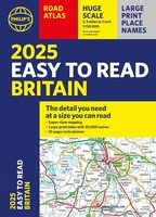 Wegenatlas Easy to Read Road Atlas Britain 2025 | Philip's Maps
"The detail you need at a size you can read". The latest 2025 Philip's Easy to Read Road Atlas of Britain from the best-selling Road Atlas range has over 350 …
★★★★★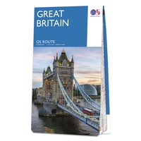 Wegenkaart - landkaart Great Britain OS route | Ordnance Survey
Tweezijdige overzichtskaart van heel Engeland en Schotland. Goed duildelijk leesbaar kaartbeeld met de doorgaande en grotere wegen. Ook Nationsle Parken staan er goed op. Ordnance Survey's double-sided OS Route Map …
 Wandelkaart John O'Groats trail | Harvey Maps
Mooie, duidelijke kaart van de John O'Groats trail in Schotland. Geplastificeerd met veel extra informatie en uitsnedes van de route. The John o' Groats Trail is a 237 km (147 …
★★★★★★★★★★
Laatste reviews

Kan de huidige ontstuimige ontwikkelingen wereldwijd, nu ook geografisch plaatsen en daarmee beter volgen.
★★★★★ door Leo Janssen 20 december 2024 | Heeft dit artikel gekocht
We hadden Piëmonte al eens bezocht en voor onze komende reis werd ons door kennissen deze gids aanbevolen. Inderdaad is dit een heel goede gids. …
★★★★★ door DWKdB 19 december 2024 | Heeft dit artikel gekocht
Mijn bestellingen zijn altijd goed en worden altijd op tijd geleverd. Komen afspraken goed na. Erg tevreden.
★★★★★ door Ben Wegdam 19 december 2024 | Heeft dit artikel gekocht
Zeer gedetailleerde kaart van het zuidelijke deel van het douaniers pad
★★★★★ door Marian 18 december 2024 | Heeft dit artikel gekocht


